File:Plan Schmargendorf.gif

Size of this preview: 549 × 600 pixels. Other resolutions: 220 × 240 pixels | 439 × 480 pixels | 703 × 768 pixels | 937 × 1,024 pixels | 1,875 × 2,048 pixels | 3,284 × 3,587 pixels.
Original file (3,284 × 3,587 pixels, file size: 398 KB, MIME type: image/gif)
Captions
Captions
Add a one-line explanation of what this file represents
| Description |
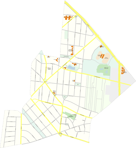
Deutsch: Plan von Berlin-Schmargendorf English: Map of Berlin-Schmargendorf |
| Date | |
| Source | Own work |
| Author | Axel Mauruszat |
| Permission (Reusing this file) |
I, the copyright holder of this work, hereby publish it under the following license: This file is licensed under the Creative Commons Attribution 2.0 Germany license.
 |
File history
Click on a date/time to view the file as it appeared at that time.
| Date/Time | Thumbnail | Dimensions | User | Comment | |
|---|---|---|---|---|---|
| current | 06:12, 19 August 2008 | | 3,284 × 3,587 (398 KB) | Axel.Mauruszat (talk | contribs) | weniger Rand, so kleiner als 12,5 Mio pix |
| 06:08, 19 August 2008 |  | 3,440 × 3,750 (402 KB) | Axel.Mauruszat (talk | contribs) | {{Information |Description={{de|Plan von Berlin-Schmargendorf}} {{en|Map of Berlin-Schmargendorf}} |Source={{de|eigene Arbeit}} {{en|own work}} |Date=2008-08-19 |Author=Axel Mauruszat |Permission={{self|Cc-by-2.0-de}} |other_versions= }} [[Catego |
You cannot overwrite this file.
File usage on Commons
The following 2 pages use this file:
File usage on other wikis
The following other wikis use this file:
- Usage on en.wikipedia.org
- Usage on tg.wikipedia.org
- Usage on www.wikidata.org