File:Plaque funéraire du groupe de liaisons aériennes ministérielles (GLAM).jpg

Size of this preview: 800 × 511 pixels. Other resolutions: 320 × 205 pixels | 640 × 409 pixels | 1,024 × 655 pixels | 1,280 × 818 pixels | 2,448 × 1,565 pixels.
Original file (2,448 × 1,565 pixels, file size: 1.6 MB, MIME type: image/jpeg)
Captions
Captions
Add a one-line explanation of what this file represents
Summary edit
.jpg&action=edit§ion=1)
| Description |
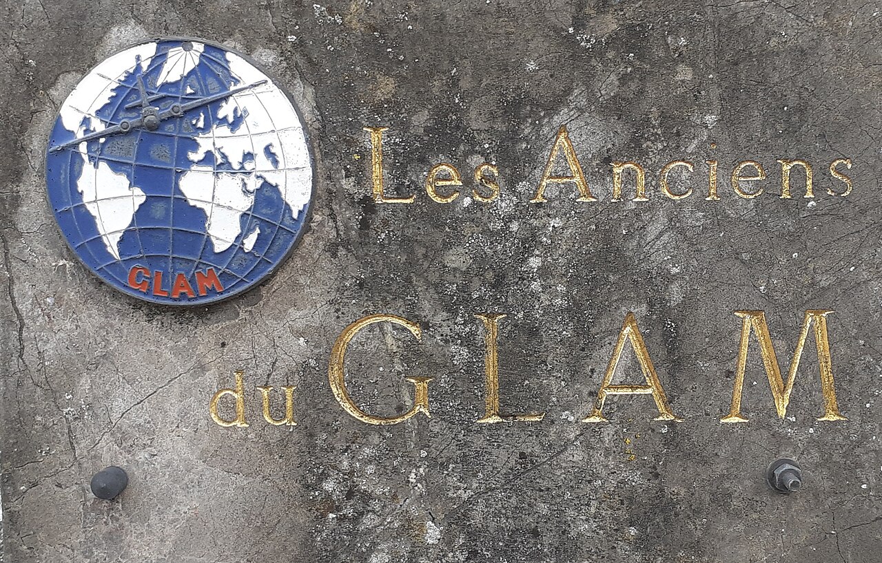
Français : Plaque funéraire du groupe de liaisons aériennes ministérielles (GLAM) sur la tombe de Françoise Zimmer, cimetière du Centre à Wasquehal. |
| Date | 5 September 2022 (according to Exif data) |
| Source | Own work |
| Author | JuliusMassius |
| Camera location | | View this and other nearby images on: OpenStreetMap |
|---|
.jpg¶ms=050.670440_N_0003.124845_E_globe:Earth_type:camera__&language=en)
Licensing edit
.jpg&action=edit§ion=2)
I, the copyright holder of this work, hereby publish it under the following license:
This file is licensed under the Creative Commons Attribution-Share Alike 4.0 International license.
- You are free:
- to share – to copy, distribute and transmit the work
- to remix – to adapt the work
- Under the following conditions:
- attribution – You must give appropriate credit, provide a link to the license, and indicate if changes were made. You may do so in any reasonable manner, but not in any way that suggests the licensor endorses you or your use.
- share alike – If you remix, transform, or build upon the material, you must distribute your contributions under the same or compatible license as the original.
| This file was uploaded via Mobile Android App (Commons mobile app) 3.1.1~1c9267ca0. |
File history
Click on a date/time to view the file as it appeared at that time.
| Date/Time | Thumbnail | Dimensions | User | Comment | |
|---|---|---|---|---|---|
| current | 18:49, 5 September 2022 | | 2,448 × 1,565 (1.6 MB) | JuliusMassius (talk | contribs) | Uploaded using Commons Mobile App |
You cannot overwrite this file.
File usage on Commons
The following page uses this file:
.jpg&oldid=846902761)