File:Ploughed field and fence, Trewarlett - geograph.org.uk - 1732110.jpg
No higher resolution available.
Ploughed_field_and_fence,_Trewarlett_-_geograph.org.uk_-_1732110.jpg (640 × 444 pixels, file size: 122 KB, MIME type: image/jpeg)
Captions
Captions
Add a one-line explanation of what this file represents
Summary edit
| Description |
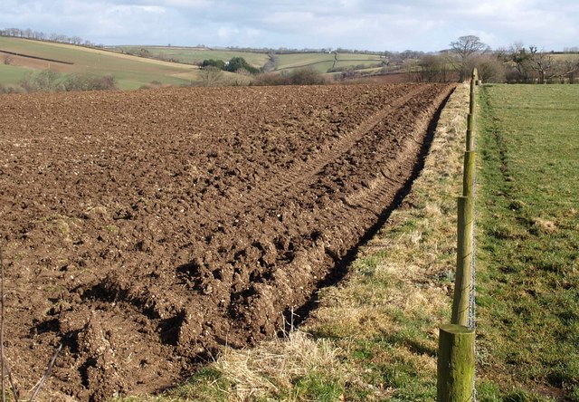
English: Ploughed field and fence, Trewarlett. From the stile by which footpath 524/12/1 leaves the road south of 1731067 at the junction with the lane past Larrick. The path crosses the grassy field on the right. On the left is the valley of a tributary of the Lowley Brook, whose valley can be seen in the distance around Little Comfort, in SX3480. |
| Date | |
| Source | From geograph.org.uk |
| Author | Derek Harper |
| Attribution (required by the license) | Derek Harper / Ploughed field and fence, Trewarlett / |
| Camera location | | View this and other nearby images on: OpenStreetMap |
|---|
_heading:90.00&language=en)
| Object location | | View this and other nearby images on: OpenStreetMap |
|---|
_heading:90.00&language=en)
Licensing edit

|
This image was taken from the Geograph project collection. See this photograph's page on the Geograph website for the photographer's contact details. The copyright on this image is owned by Derek Harper and is licensed for reuse under the Creative Commons Attribution-ShareAlike 2.0 license.
|
This file is licensed under the Creative Commons Attribution-Share Alike 2.0 Generic license.
Attribution: Derek Harper
- You are free:
- to share – to copy, distribute and transmit the work
- to remix – to adapt the work
- Under the following conditions:
- attribution – You must give appropriate credit, provide a link to the license, and indicate if changes were made. You may do so in any reasonable manner, but not in any way that suggests the licensor endorses you or your use.
- share alike – If you remix, transform, or build upon the material, you must distribute your contributions under the same or compatible license as the original.
File history
Click on a date/time to view the file as it appeared at that time.
| Date/Time | Thumbnail | Dimensions | User | Comment | |
|---|---|---|---|---|---|
| current | 16:05, 5 March 2011 | | 640 × 444 (122 KB) | GeographBot (talk | contribs) | == {{int:filedesc}} == {{Information |description={{en|1=Ploughed field and fence, Trewarlett From the stile by which footpath 524/12/1 leaves the road south of 1731067 at the junction with the lane past Larrick. The path crosses the grassy field on t |
You cannot overwrite this file.
File usage on Commons
There are no pages that use this file.