File:Pond on the Ruzhbol River 03.jpg

Size of this preview: 800 × 497 pixels. Other resolutions: 320 × 199 pixels | 640 × 398 pixels | 1,024 × 636 pixels.
Original file (1,024 × 636 pixels, file size: 139 KB, MIME type: image/jpeg)
Captions
Captions
Add a one-line explanation of what this file represents
Summary edit
| Description |
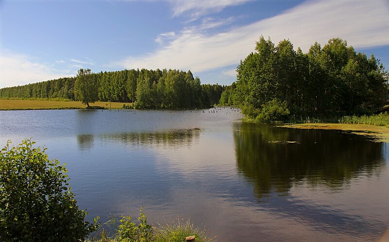
Français : Étang sur la rivière Roujbol. |
| Date | Autumn 2013 |
| Source | https://wikimapia.org/#lang=fr&lat=58.473863&lon=43.425307&z=16&m=w&show=/30931828/ru/%D0%9F%D1%80%D1%83%D0%B4-%D0%BD%D0%B0-%D1%80%D0%B5%D1%87%D0%BA%D0%B5-%D0%A0%D1%83%D0%B6%D0%B1%D0%BE%D0%BB |
| Author | Starik66 |
Licensing edit
This file is licensed under the Creative Commons Attribution-Share Alike 3.0 Unported license.
- You are free:
- to share – to copy, distribute and transmit the work
- to remix – to adapt the work
- Under the following conditions:
- attribution – You must give appropriate credit, provide a link to the license, and indicate if changes were made. You may do so in any reasonable manner, but not in any way that suggests the licensor endorses you or your use.
- share alike – If you remix, transform, or build upon the material, you must distribute your contributions under the same or compatible license as the original.
See Wikimapia terms reference (p. 1.F)
File history
Click on a date/time to view the file as it appeared at that time.
| Date/Time | Thumbnail | Dimensions | User | Comment | |
|---|---|---|---|---|---|
| current | 13:15, 1 January 2024 | | 1,024 × 636 (139 KB) | Lillian Rínkū (talk | contribs) | Uploaded a work by [http://wikimapia.org/user/1905801 Starik66] from https://wikimapia.org/#lang=fr&lat=58.473863&lon=43.425307&z=16&m=w&show=/30931828/ru/%D0%9F%D1%80%D1%83%D0%B4-%D0%BD%D0%B0-%D1%80%D0%B5%D1%87%D0%BA%D0%B5-%D0%A0%D1%83%D0%B6%D0%B1%D0%BE%D0%BB with UploadWizard |
You cannot overwrite this file.
File usage on Commons
There are no pages that use this file.