File:Powiat wolsztyński location map.png

Size of this preview: 729 × 599 pixels. Other resolutions: 292 × 240 pixels | 584 × 480 pixels | 951 × 782 pixels.
Original file (951 × 782 pixels, file size: 165 KB, MIME type: image/png)
Captions
Captions
Add a one-line explanation of what this file represents
| Description |
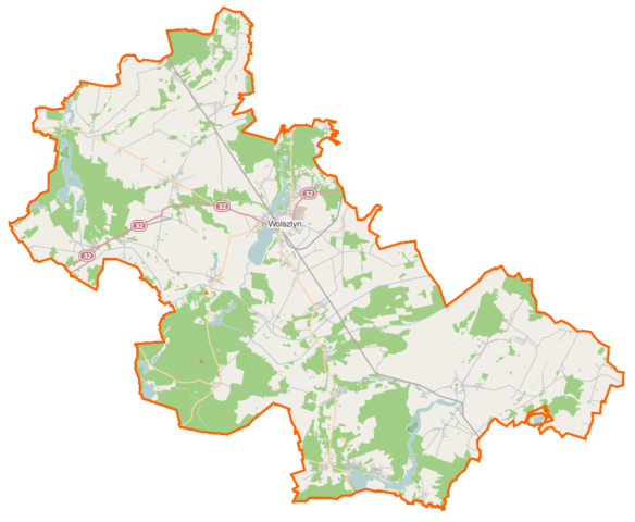
Polski: Mapa powiatu wolsztyńskiego, Polska
English: Map of Powiat wolsztyński, Poland |
|||||||||
| Date | ||||||||||
| Source | You may find a page on the OpenStreetMap wiki page for Powiat wolsztyński | |||||||||
| Creator |
OpenStreetMap contributors OpenStreetMap contributors |
|||||||||
| Permission (Reusing this file) |
OpenStreetMap data is available under the Open Database License (details). Map tiles are licensed under the Creative Commons Attribution-ShareAlike 2.0 license (CC-BY-SA 2.0).
This file is licensed under the Creative Commons Attribution-Share Alike 2.0 Generic license.
|
|||||||||
| Geotemporal data | ||||||||||
| Bounding box |
|
|||||||||
| Georeferencing | If inappropriate please set warp_status = skip to hide. | |||||||||
File history
Click on a date/time to view the file as it appeared at that time.
| Date/Time | Thumbnail | Dimensions | User | Comment | |
|---|---|---|---|---|---|
| current | 13:01, 30 December 2014 | | 951 × 782 (165 KB) | VanWiel (talk | contribs) | {{OpenStreetMap | name = Powiat wolsztyński | location = Powiat wolsztyński | description = {{pl|Mapa powiatu wolsztyńskiego, Polska}} {{en|Map of Powiat wolsztyński, Poland}} | top = 52.1777 | bottom... |
You cannot overwrite this file.
File usage on Commons
There are no pages that use this file.
File usage on other wikis
The following other wikis use this file:
- Usage on eo.wikipedia.org
- Usage on fr.wikipedia.org
- Usage on pl.wikipedia.org
- Tuchorza
- Wolsztyn
- Belęcin (wieś)
- Wieleń (powiat wolsztyński)
- Kaszczor
- Przemęt (województwo wielkopolskie)
- Mochy
- Olejnica
- Perkowo (województwo wielkopolskie)
- Chorzemin
- Powiat wolsztyński
- Obra (województwo wielkopolskie)
- Kluczewo (powiat wolsztyński)
- Osłonin
- Starkowo (województwo wielkopolskie)
- Boruja
- Barchlin
- Barłożnia Gościeszyńska
- Berzyna
- Błocko
- Bucz
- Chobienice
- Jażyniec
- Karna
- Karpicko
- Kiełkowo
- Mariankowo (województwo wielkopolskie)
- Niałek Wielki
- Nieborza
- Nowa Tuchorza
- Nowe Tłoki
- Nowy Widzim
- Popowo Stare
- Poświętno
- Powodowo (województwo wielkopolskie)
- Reklin
- Reklinek
- Siekowo
- Siekówko
- Solec Nowy
- Sączkowo
- Stary Widzim
- Stara Tuchorza
- Stradyń
- Świętno (województwo wielkopolskie)
- Tłoki
- Wąchabno (wieś w województwie wielkopolskim)
- Żodyń
View more global usage of this file.