File:Providence Plantation farmhouse.jpg

Size of this preview: 800 × 532 pixels. Other resolutions: 320 × 213 pixels | 640 × 426 pixels | 1,024 × 681 pixels | 1,280 × 851 pixels | 2,560 × 1,702 pixels | 6,016 × 4,000 pixels.
Original file (6,016 × 4,000 pixels, file size: 6.43 MB, MIME type: image/jpeg)
Captions
Captions
Add a one-line explanation of what this file represents
|
This is an image of a place or building that is listed on the National Register of Historic Places in the United States of America. Its reference number is 09000689. |
| Camera location | | View this and other nearby images on: OpenStreetMap |
|---|
| Description |
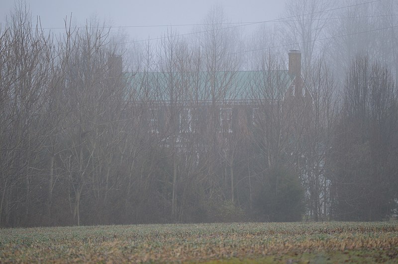
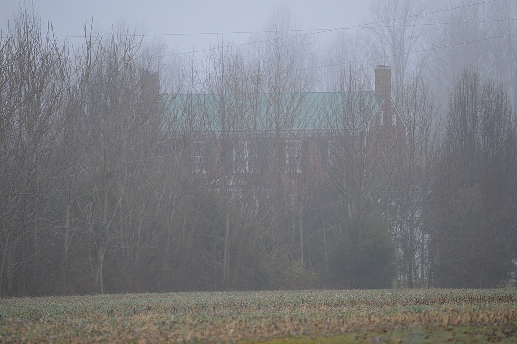
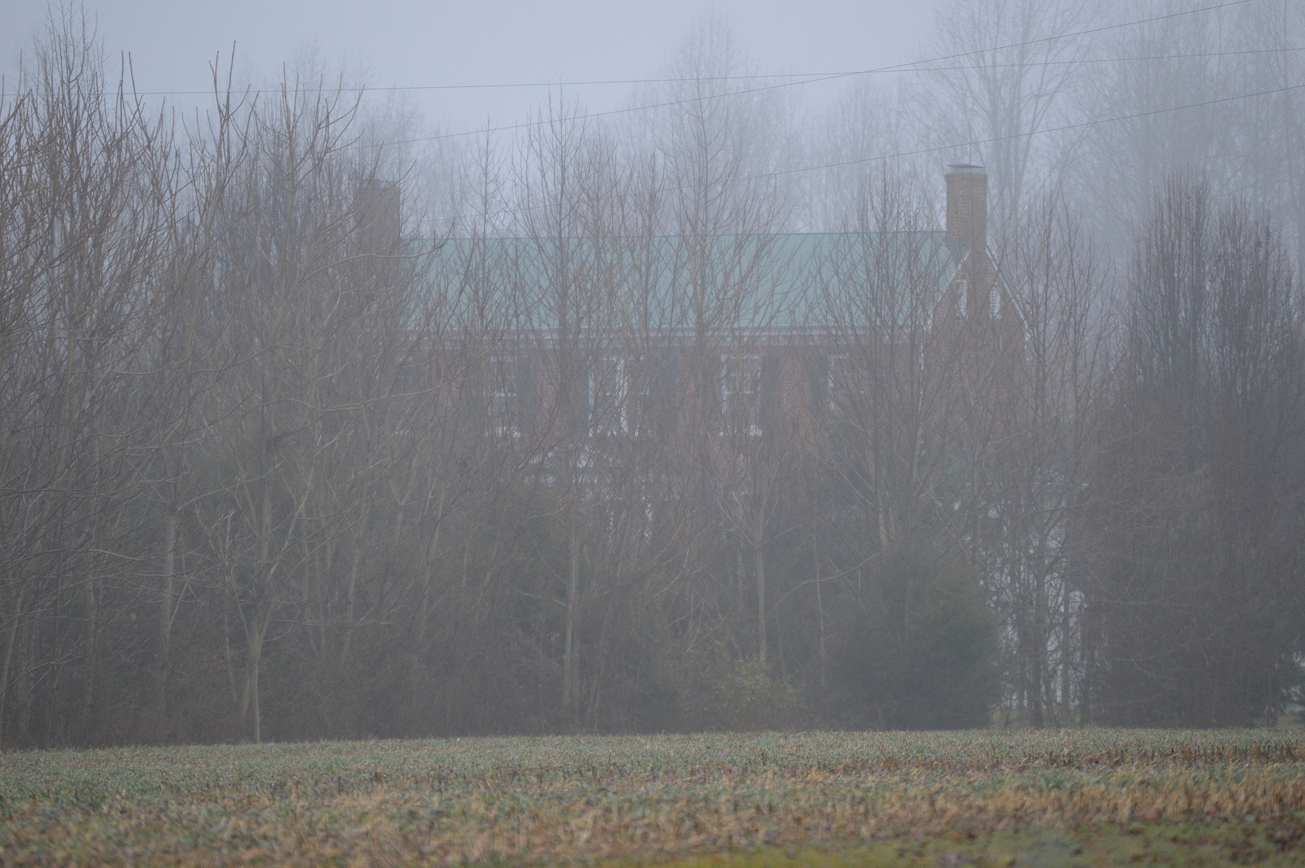
English: Looking through the trees toward the main farmhouse at Providence Plantation, located at 1302 Roundabout Route Road west of Newtown in King and Queen County, Virginia, United States. Built in 1826, it is listed on the National Register of Historic Places. |
||
| Date | Taken on 21 January 2017 | ||
| Source | Own work | ||
| Author | Nyttend | ||
| Permission (Reusing this file) |
|
||
| Other versions | None |
File history
Click on a date/time to view the file as it appeared at that time.
| Date/Time | Thumbnail | Dimensions | User | Comment | |
|---|---|---|---|---|---|
| current | 17:38, 7 February 2017 | | 6,016 × 4,000 (6.43 MB) | Nyttend (talk | contribs) | {{NRHP|09000689}} {{Location|37|54|56|N|77|10|36|W}} {{Information |Description={{en|Looking through the trees toward the main farmhouse at {{w|Providence Plantation and Farm|Providence Plantation}}, located at 1302 Roundabout Route Road west of {{w|Ne... |
You cannot overwrite this file.
File usage on Commons
There are no pages that use this file.
File usage on other wikis
The following other wikis use this file:
- Usage on en.wikipedia.org
- Usage on www.wikidata.org