File:Prudnik location map.svg

Original file (SVG file, nominally 882 × 1,024 pixels, file size: 493 KB)
Captions
Captions
Summary edit
| Description |
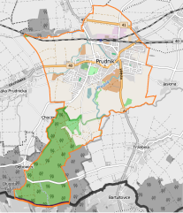
English: Prudnik location maps |
| Date | |
| Source | Own work |
| Author | Smat |
Licensing edit
| Description |
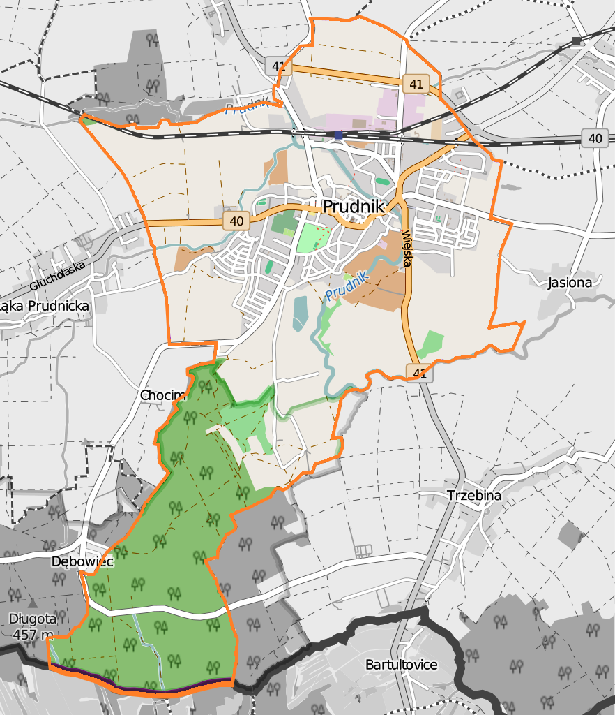
Polski: Mapa Prudnika, Polska
English: Map of Prudnik, Poland |
|||||||||
| Date | ||||||||||
| Source | You may find a page on the OpenStreetMap wiki page for Prudnik | |||||||||
| Creator |
OpenStreetMap contributors OpenStreetMap contributors |
|||||||||
| Permission (Reusing this file) |
OpenStreetMap data is available under the Open Database License (details). Map tiles are licensed under the Creative Commons Attribution-ShareAlike 2.0 license (CC-BY-SA 2.0).
This file is licensed under the Creative Commons Attribution-Share Alike 2.0 Generic license.
|
|||||||||
| Geotemporal data | ||||||||||
| Bounding box |
|
|||||||||
| Georeferencing | If inappropriate please set warp_status = skip to hide. | |||||||||
Licensing edit
| This work contains information from OpenStreetMap, which is made available under the Open Database License (ODbL).
The ODbL does not require any particular license for maps produced from ODbL data. Prior to 1 August 2020, map tiles produced by the OpenStreetMap Foundation were licensed under the CC-BY-SA-2.0 license. Maps produced by other people may be subject to other licences. |
File history
Click on a date/time to view the file as it appeared at that time.
| Date/Time | Thumbnail | Dimensions | User | Comment | |
|---|---|---|---|---|---|
| current | 14:11, 13 October 2018 | | 882 × 1,024 (493 KB) | Smat (talk | contribs) | new |
| 20:15, 25 November 2015 |  | 573 × 665 (1.95 MB) | Smat (talk | contribs) | User created page with UploadWizard |
You cannot overwrite this file.
File usage on Commons
The following page uses this file:
File usage on other wikis
The following other wikis use this file:
- Usage on pl.wikipedia.org
- Prudnik (stacja kolejowa)
- Synagoga w Prudniku
- Dekanat Prudnik
- I Liceum Ogólnokształcące im. Adama Mickiewicza w Prudniku
- Muzeum Ziemi Prudnickiej
- Długota
- Ratusz w Prudniku
- Cmentarz żydowski w Prudniku
- Kobylica (Góry Opawskie)
- Okopowa
- Parafia św. Michała Archanioła w Prudniku
- Parafia Miłosierdzia Bożego w Prudniku
- Kościół św. Michała Archanioła w Prudniku
- Kozia Góra (Góry Opawskie)
- Kościół ewangelicki w Prudniku
- Kościół Świętych Apostołów Piotra i Pawła w Prudniku
- Park Miejski w Prudniku
- Zespół Szkół Rolniczych w Prudniku
- Kościół św. Józefa w Prudniku-Lesie
- Kapliczna Góra
- Święta Góra (Góry Opawskie)
- Moduł:Mapa/dane/Prudnik
- Wieża Woka
- Zakłady Przemysłu Bawełnianego „Frotex”
- Willa rodziny Fränkel
- Hala „Obuwnik” w Prudniku
- Stadion Miejski w Prudniku
- Spółdzielnia „Pionier”
- Prudnickie Zakłady Obuwia „Primus“
- Okręgowa Spółdzielnia Mleczarska w Prudniku
- Cmentarz komunalny w Prudniku
- Rynek w Prudniku
- Kolumna Maryjna w Prudniku
- Willa przy ul. Nyskiej 2 w Prudniku
- Wieża Bramy Dolnej w Prudniku
- Górka (Prudnik)
- Kolonia Karola Miarki
- Młyn Czyżyka
- Młyn Czyżyka (część miasta)
- Lipno (Prudnik)
- Ulica Tadeusza Kościuszki w Prudniku
- Kościół Miłosierdzia Bożego w Prudniku
- Jasionowe Wzgórze
- Ulica Jarosława Dąbrowskiego w Prudniku
- Ulica Józefa Poniatowskiego w Prudniku
- Ulica Wiejska w Prudniku
- Ulica Powstańców Śląskich w Prudniku
- Ulica Nyska w Prudniku
- Stadnina Koni Prudnik
- Dawny zajazd w Prudniku
View more global usage of this file.