File:Przedecz (gmina) location map.png

Size of this preview: 789 × 599 pixels. Other resolutions: 316 × 240 pixels | 632 × 480 pixels | 1,011 × 768 pixels | 1,280 × 972 pixels | 2,271 × 1,725 pixels.
Original file (2,271 × 1,725 pixels, file size: 428 KB, MIME type: image/png)
Captions
Captions
Add a one-line explanation of what this file represents
| Description |
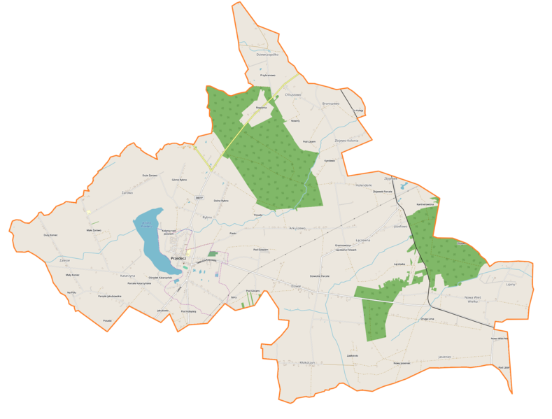
Polski: Mapa gminy Przedecz, Polska
English: Map of Gmina Przedecz, Poland |
|||||||||
| Date | ||||||||||
| Source | You may find a page on the OpenStreetMap wiki page for Przedecz (gmina) | |||||||||
| Creator |
OpenStreetMap contributors OpenStreetMap contributors |
|||||||||
| Permission (Reusing this file) |
OpenStreetMap data is available under the Open Database License (details). Map tiles are licensed under the Creative Commons Attribution-ShareAlike 2.0 license (CC-BY-SA 2.0).
This file is licensed under the Creative Commons Attribution-Share Alike 2.0 Generic license.
|
|||||||||
| Geotemporal data | ||||||||||
| Bounding box |
|
|||||||||
| Georeferencing | If inappropriate please set warp_status = skip to hide. | |||||||||
File history
Click on a date/time to view the file as it appeared at that time.
| Date/Time | Thumbnail | Dimensions | User | Comment | |
|---|---|---|---|---|---|
| current | 09:09, 25 January 2019 | | 2,271 × 1,725 (428 KB) | Smat (talk | contribs) | correct |
| 09:39, 8 December 2014 |  | 675 × 515 (50 KB) | VanWiel (talk | contribs) | {{OpenStreetMap | name = Przedecz (gmina) | location = Przedecz (gmina) | description = {{pl|Mapa gminy Przedecz, Polska}} {{en|Map of Gmina Przedecz, Poland}} | top = 52.4005 | bottom = 52.2927 | l... |
You cannot overwrite this file.
File usage on Commons
There are no pages that use this file.
File usage on other wikis
The following other wikis use this file:
- Usage on fr.wikipedia.org
- Usage on pl.wikipedia.org
- Przedecz
- Przedecz (gmina)
- Arkuszewo
- Dziewczopólko
- Dziwie
- Holenderki
- Zbijewo-Kolonia
- Jasieniec (województwo wielkopolskie)
- Katarzyna (województwo wielkopolskie)
- Kłokoczyn (województwo wielkopolskie)
- Łączewna (województwo wielkopolskie)
- Nowa Wieś Wielka (województwo wielkopolskie)
- Żarowo (województwo wielkopolskie)
- Broniszewo (powiat kolski)
- Chrustowo (powiat kolski)
- Józefowo (gmina Przedecz)
- Rybno (powiat kolski)
- Zalesie (gmina Przedecz)
- Rogóźno (województwo wielkopolskie)
- Zbijewek-Parcele
- Lipiny (gmina Przedecz)
- Rezerwat przyrody Rogóźno
- Parafia Świętej Rodziny w Przedczu
- Kościół św. Rodziny w Przedczu
- Przedecz (jezioro)
- Ratusz w Przedczu
- Zamek w Przedczu
- Zbijewo (przystanek kolejowy)
- Wielka Wieś Kujawska
- Zbijewek
- Pod Dziwiem
- Zabłotniki
- Moduł:Mapa/dane/Przedecz
- Moduł:Mapa/dane/Przedecz (gmina)
- Usage on pl.wikibooks.org
_location_map.png&oldid=519992757)