File:Puente la gazapa bridge.JPG

Size of this preview: 800 × 410 pixels. Other resolutions: 320 × 164 pixels | 640 × 328 pixels | 1,024 × 525 pixels | 1,280 × 656 pixels | 3,908 × 2,003 pixels.
Original file (3,908 × 2,003 pixels, file size: 1.27 MB, MIME type: image/jpeg)
Captions
Captions
Add a one-line explanation of what this file represents
Summary edit
| Camera location | | View this and other nearby images on: OpenStreetMap |
|---|
| Description |
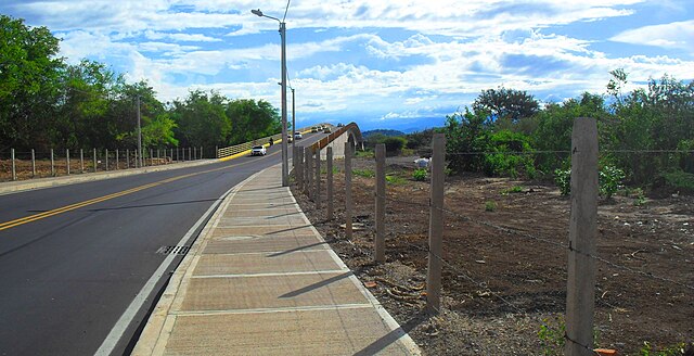
English: gazapa bridge, west cucuta ,norte de santander .Colombia
Español: puente la gazapa al noreste de cucuta, Colombia |
| Date | |
| Source | Own work |
| Author | EEIM |
Imagen libre. free image. Bild von Open Access. 开放获取的图片. صور من وصول مفتوحة. चित्र का उपयोग खुला. Image de l'accès ouvert.
Licensing edit
I, the copyright holder of this work, hereby publish it under the following license:
This file is licensed under the Creative Commons Attribution-Share Alike 3.0 Unported license.
- You are free:
- to share – to copy, distribute and transmit the work
- to remix – to adapt the work
- Under the following conditions:
- attribution – You must give appropriate credit, provide a link to the license, and indicate if changes were made. You may do so in any reasonable manner, but not in any way that suggests the licensor endorses you or your use.
- share alike – If you remix, transform, or build upon the material, you must distribute your contributions under the same or compatible license as the original.
File history
Click on a date/time to view the file as it appeared at that time.
| Date/Time | Thumbnail | Dimensions | User | Comment | |
|---|---|---|---|---|---|
| current | 00:07, 6 August 2012 | | 3,908 × 2,003 (1.27 MB) | EEIM (talk | contribs) |
You cannot overwrite this file.
File usage on Commons
The following page uses this file: