File:RJ 121.068 and 140.099 - SV 1222 Zakarpatia - Čop (UA) - Čierna nad Tisou - Košice - Vyšná Myšľa.jpg
Size of this preview: 800 × 533 pixels. Other resolutions: 320 × 213 pixels | 640 × 427 pixels | 1,024 × 682 pixels | 1,280 × 853 pixels | 2,947 × 1,964 pixels.
Original file (2,947 × 1,964 pixels, file size: 3.49 MB, MIME type: image/jpeg)
Captions
Captions
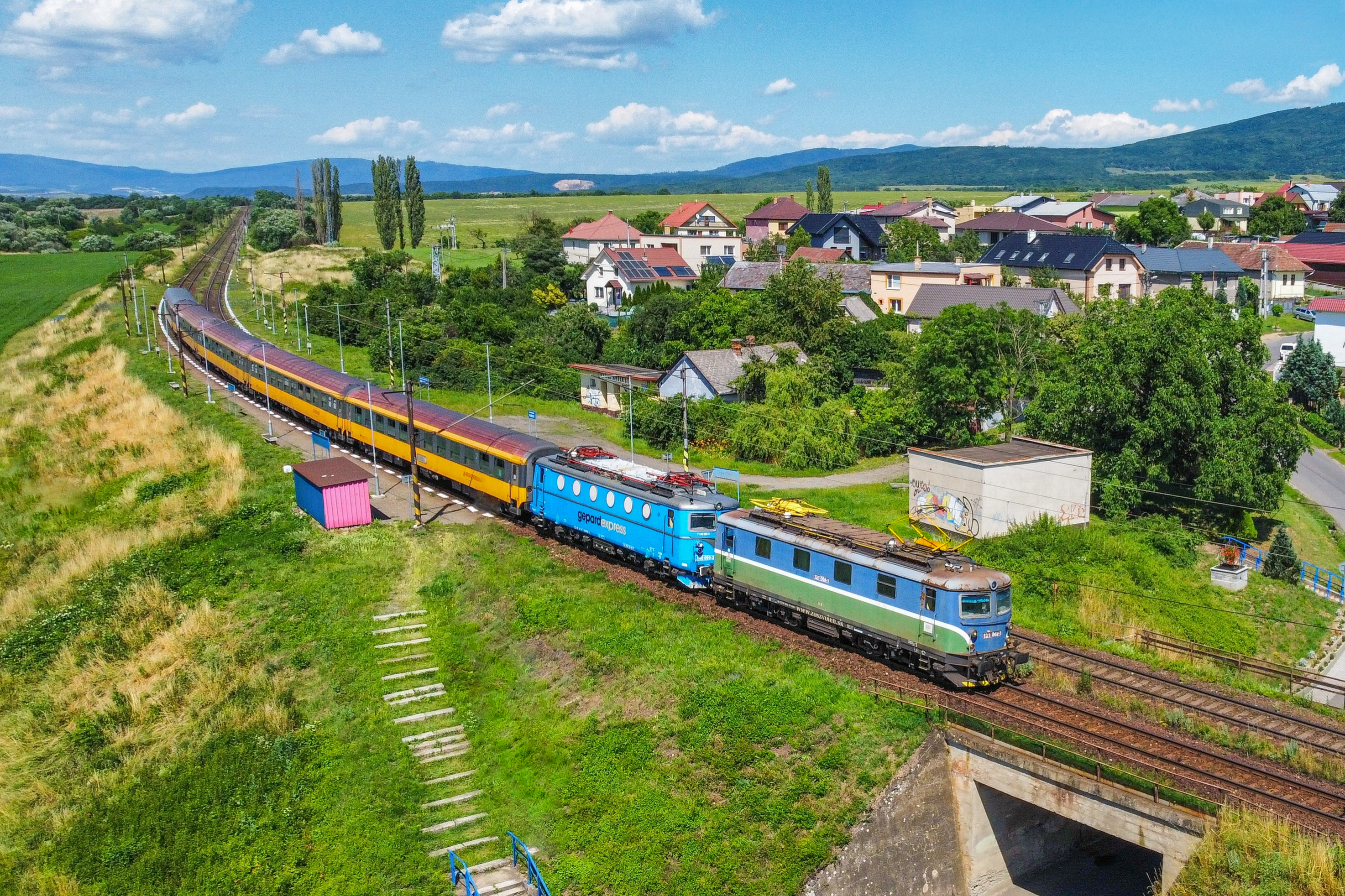
RJ 121.068 + 140.099 - SV 1222 Zakarpatia - Čop (UA) - Čierna n. Tisou - Košice - Vyšná Myšľa
Summary edit
_-_%C4%8Cierna_nad_Tisou_-_Ko%C5%A1ice_-_Vy%C5%A1n%C3%A1_My%C5%A1%C4%BEa.jpg&action=edit§ion=1)
| Description |
English: RJ 121.068 and 140.099 - SV 1222 Zakarpatia - Čop (UA) - Čierna nad Tisou - Košice - Vyšná Myšľa, Slovakia. |
| Date | |
| Source | https://www.flickr.com/photos/150092631@N04/53020170839/ |
| Author | Viktor Šesták |
| Camera location | | View this and other nearby images on: OpenStreetMap |
|---|
_-_%C4%8Cierna_nad_Tisou_-_Ko%C5%A1ice_-_Vy%C5%A1n%C3%A1_My%C5%A1%C4%BEa.jpg¶ms=048.636708_N_0021.382098_E_globe:Earth_type:camera__&language=en)
Licensing edit
_-_%C4%8Cierna_nad_Tisou_-_Ko%C5%A1ice_-_Vy%C5%A1n%C3%A1_My%C5%A1%C4%BEa.jpg&action=edit§ion=2)
This file is licensed under the Creative Commons Attribution 2.0 Generic license.
- You are free:
- to share – to copy, distribute and transmit the work
- to remix – to adapt the work
- Under the following conditions:
- attribution – You must give appropriate credit, provide a link to the license, and indicate if changes were made. You may do so in any reasonable manner, but not in any way that suggests the licensor endorses you or your use.
| This image was originally posted to Flickr by Viktor Šesták at https://flickr.com/photos/150092631@N04/53020170839. It was reviewed on 27 October 2023 by FlickreviewR 2 and was confirmed to be licensed under the terms of the cc-by-2.0. |
File history
Click on a date/time to view the file as it appeared at that time.
| Date/Time | Thumbnail | Dimensions | User | Comment | |
|---|---|---|---|---|---|
| current | 23:39, 27 October 2023 | | 2,947 × 1,964 (3.49 MB) | Petr8888 (talk | contribs) | Uploaded a work by Viktor Šesták from https://www.flickr.com/photos/150092631@N04/53020170839/ with UploadWizard |
You cannot overwrite this file.
File usage on Commons
The following page uses this file:
_-_Čierna_nad_Tisou_-_Košice_-_Vyšná_Myšľa.jpg&oldid=860034762)