File:RM.4539.jpg

Size of this preview: 688 × 600 pixels. Other resolutions: 275 × 240 pixels | 551 × 480 pixels | 881 × 768 pixels | 1,175 × 1,024 pixels | 2,350 × 2,048 pixels | 8,260 × 7,200 pixels.
Original file (8,260 × 7,200 pixels, file size: 23.98 MB, MIME type: image/jpeg)
Captions
Captions
Add a one-line explanation of what this file represents
| Warning | The original file is very high-resolution. It might not load properly or could cause your browser to freeze when opened at full size. |
|---|
Summary edit
| Description |
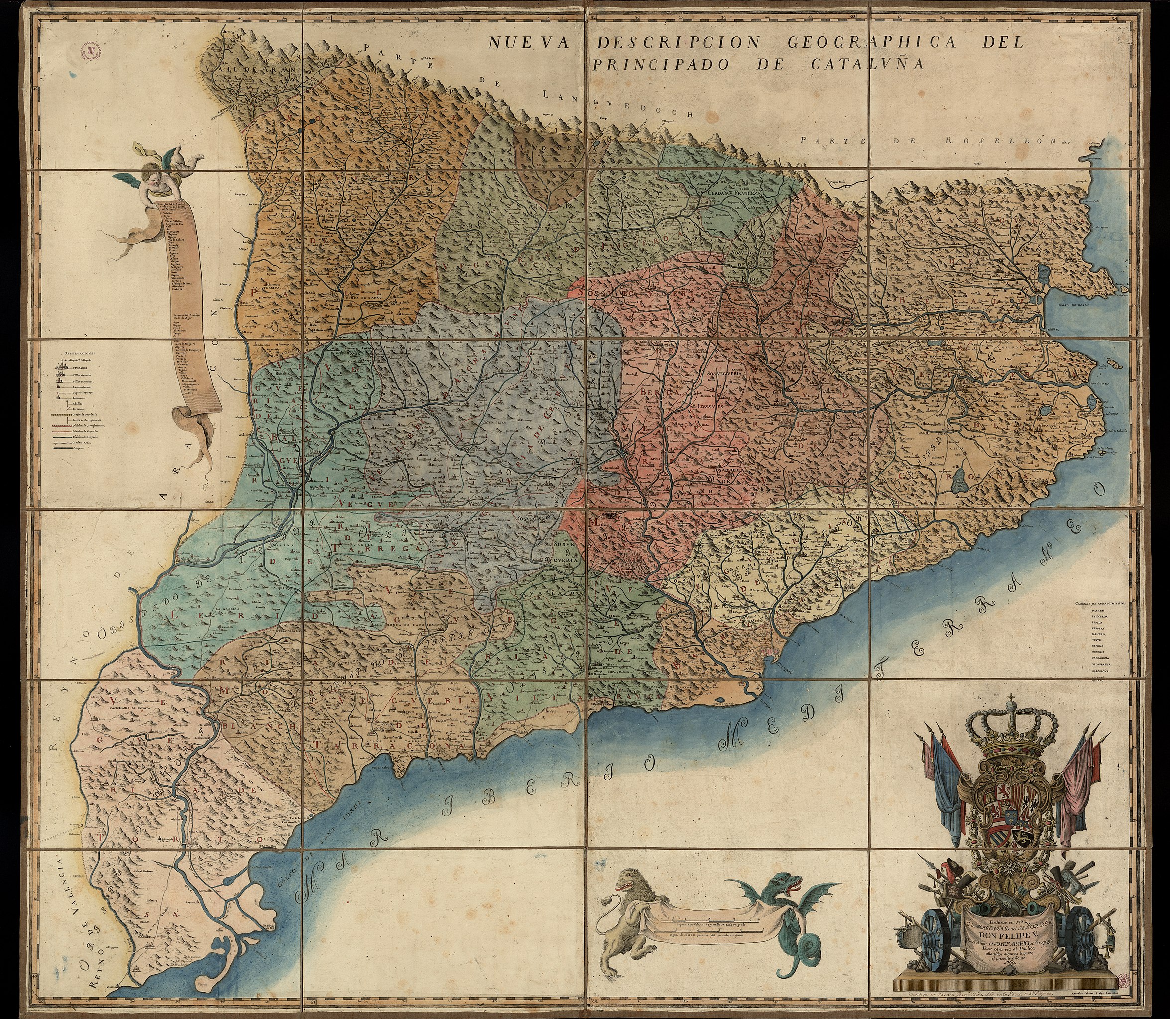
Español: Nueva descripcion geographica del principado de Cataluña / dedicose en 1720 al Rey Don Felipe V por el autor D. Josef Aparici, su geografo ; dase otra vez al publico, añadidos algunos lugares, el presente año de 1769 ; Antonius Sabater sculps. |
| Date | |
| Source | http://cartotecadigital.icc.cat/ |
| Author | Josep Aparici i Fins |
| Other versions |


| Camera location | | View this and other nearby images on: OpenStreetMap |
|---|
Licensing edit
|
This work is in the public domain in its country of origin and other countries and areas where the copyright term is the author's life plus 100 years or fewer. | |
| This file has been identified as being free of known restrictions under copyright law, including all related and neighboring rights. | |
File history
Click on a date/time to view the file as it appeared at that time.
| Date/Time | Thumbnail | Dimensions | User | Comment | |
|---|---|---|---|---|---|
| current | 09:10, 25 April 2013 | | 8,260 × 7,200 (23.98 MB) | Noraes (talk | contribs) | User created page with UploadWizard |
You cannot overwrite this file.
File usage on Commons
The following 2 pages use this file: