File:Railway Map Edinburgh Glasgow District 1915.jpg

Size of this preview: 800 × 512 pixels. Other resolutions: 320 × 205 pixels | 640 × 410 pixels | 1,024 × 656 pixels | 1,280 × 820 pixels | 2,560 × 1,639 pixels | 14,026 × 8,980 pixels.
Original file (14,026 × 8,980 pixels, file size: 28.11 MB, MIME type: image/jpeg)
Captions
Captions
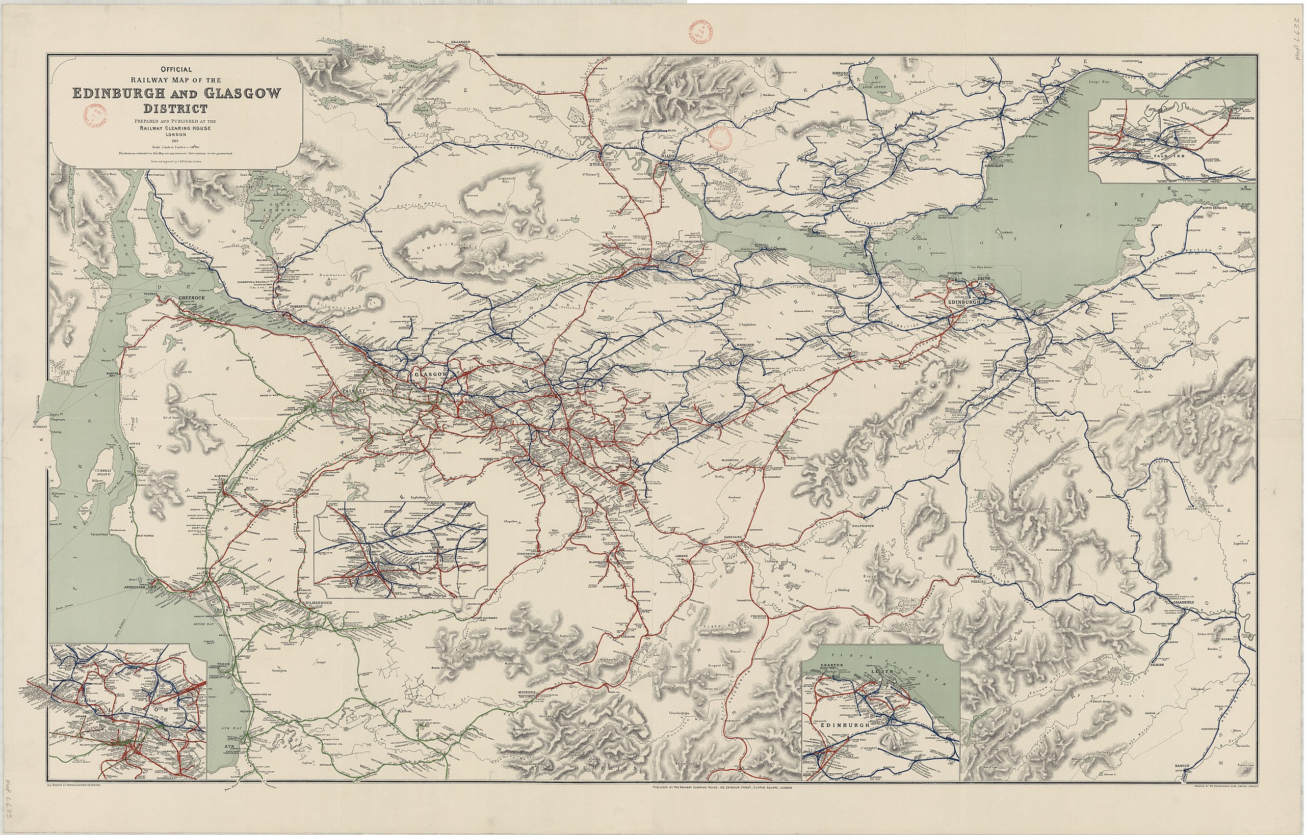
Railway Map of the Edinburgh and Glasgow District 1915
Summary edit
| Warning | The original file is very high-resolution. It might not load properly or could cause your browser to freeze when opened at full size. |
|---|
| Description |
English: Official Railway Map of the Edinburgh and Glasgow District prepared and published by the Railway Clearing House London. Scale 1 inch to 2 miles = 1:126720 |
|||||||||
| Date | ||||||||||
| Source | https://maps.nls.uk/view/142842290; https://maps.nls.uk/view/144481830 | |||||||||
| Creator |
Drawn adnd engraved by J&W. Emslie, London |
|||||||||
| Geotemporal data | ||||||||||
| Scale | 1:126,720 | |||||||||
| Bounding box |
|
|||||||||
| Georeferencing | ||||||||||
| Other versions | ||||||||||

Licensing edit
This file is licensed under the Creative Commons Attribution 4.0 International license.
Attribution: National Library of Scotland
- You are free:
- to share – to copy, distribute and transmit the work
- to remix – to adapt the work
- Under the following conditions:
- attribution – You must give appropriate credit, provide a link to the license, and indicate if changes were made. You may do so in any reasonable manner, but not in any way that suggests the licensor endorses you or your use.
File history
Click on a date/time to view the file as it appeared at that time.
| Date/Time | Thumbnail | Dimensions | User | Comment | |
|---|---|---|---|---|---|
| current | 18:19, 16 February 2022 | | 14,026 × 8,980 (28.11 MB) | Kognos (talk | contribs) | Uploaded a work by Drawn adnd engraved by J&W. Emslie, London from https://maps.nls.uk/view/142842290; https://maps.nls.uk/view/144481830 with UploadWizard |
You cannot overwrite this file.
File usage on Commons
The following 4 pages use this file: