File:Rath City Texas 2009.JPG
Size of this preview: 800 × 533 pixels. Other resolutions: 320 × 213 pixels | 640 × 427 pixels | 1,024 × 683 pixels | 1,280 × 853 pixels | 2,560 × 1,707 pixels | 3,888 × 2,592 pixels.
Original file (3,888 × 2,592 pixels, file size: 2.29 MB, MIME type: image/jpeg)
Captions
Captions
Add a one-line explanation of what this file represents
Summary edit
| Description |
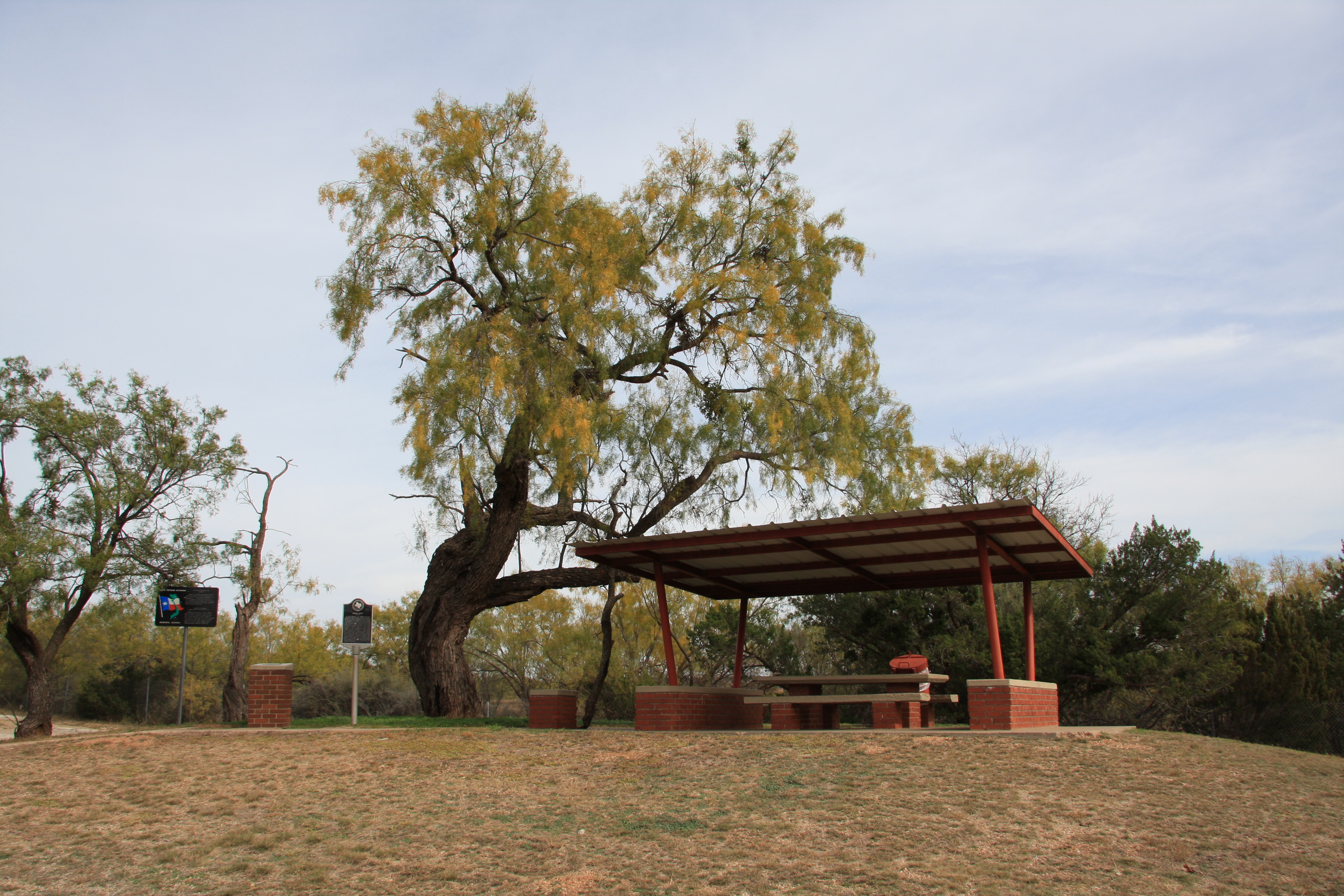
English: Historical marker and rest stop along U.S. Route 83 in Texas at the site of the former Rath City, Texas, now a ghost town. |
| Date | |
| Source | Own work |
| Author | Leaflet |
| Other versions | Public domain photos of the Rolling Plains of West Texas |
| Camera location | | View this and other nearby images on: OpenStreetMap |
|---|
Licensing edit
I, the copyright holder of this work, hereby publish it under the following license:
This file is licensed under the Creative Commons Attribution-Share Alike 3.0 Unported license.
- You are free:
- to share – to copy, distribute and transmit the work
- to remix – to adapt the work
- Under the following conditions:
- attribution – You must give appropriate credit, provide a link to the license, and indicate if changes were made. You may do so in any reasonable manner, but not in any way that suggests the licensor endorses you or your use.
- share alike – If you remix, transform, or build upon the material, you must distribute your contributions under the same or compatible license as the original.
File history
Click on a date/time to view the file as it appeared at that time.
| Date/Time | Thumbnail | Dimensions | User | Comment | |
|---|---|---|---|---|---|
| current | 02:58, 15 November 2009 | | 3,888 × 2,592 (2.29 MB) | Leaflet (talk | contribs) | {{Information |Description={{en|1=Historical marker and rest stop along Texas State Highway 83 at the site of the former Rath City, Texas}} |Source={{own}} |Author=Leaflet |Date=2009-11-12 |Permission= |other_versions= }} [[Category:Ston |
You cannot overwrite this file.
File usage on Commons
The following 2 pages use this file:
File usage on other wikis
The following other wikis use this file:
- Usage on en.wikipedia.org
- Usage on ro.wikipedia.org
- Usage on ru.wikipedia.org
- Usage on www.wikidata.org