File:Região Autónoma da Madeira location map.svg

Size of this PNG preview of this SVG file: 429 × 599 pixels. Other resolutions: 172 × 240 pixels | 344 × 480 pixels | 550 × 768 pixels | 733 × 1,024 pixels | 1,467 × 2,048 pixels | 6,524 × 9,109 pixels.
Original file (SVG file, nominally 6,524 × 9,109 pixels, file size: 142 KB)
Captions
Captions
Add a one-line explanation of what this file represents
| Description |
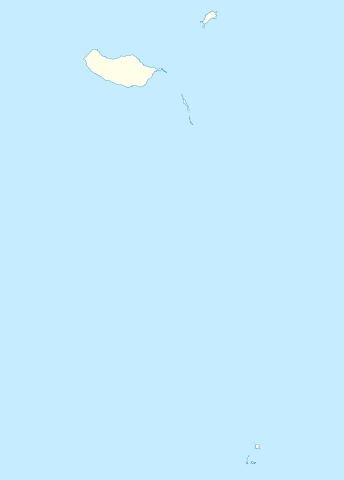
Português: Região_Autónoma_da_Madeira |
|||||
| Source | File:Islas Selvagens location map.svg and File:Portugal Madeira location map.svg | |||||
| Author | Willtron | |||||
| Permission (Reusing this file) |
|

File history
Click on a date/time to view the file as it appeared at that time.
| Date/Time | Thumbnail | Dimensions | User | Comment | |
|---|---|---|---|---|---|
| current | 13:24, 22 July 2011 | | 6,524 × 9,109 (142 KB) | Willtron (talk | contribs) | {{Information |Description={{pt|Região_Autónoma_da_Madeira}} |Source=File:Islas Selvagens location map.svg and File:Portugal Madeira location map.svg |Date= |Author= Willtron |Permission= {{Willtroncreated}} |other_versions= |
You cannot overwrite this file.
File usage on Commons
The following page uses this file: