File:Rhodes Family Incident historical marker.jpg
Size of this preview: 800 × 600 pixels. Other resolutions: 320 × 240 pixels | 640 × 480 pixels | 1,024 × 768 pixels | 1,280 × 960 pixels | 2,560 × 1,920 pixels | 2,816 × 2,112 pixels.
Original file (2,816 × 2,112 pixels, file size: 2.67 MB, MIME type: image/jpeg)
Captions
Captions
Add a one-line explanation of what this file represents
| Camera location | | View this and other nearby images on: OpenStreetMap |
|---|
| Description |
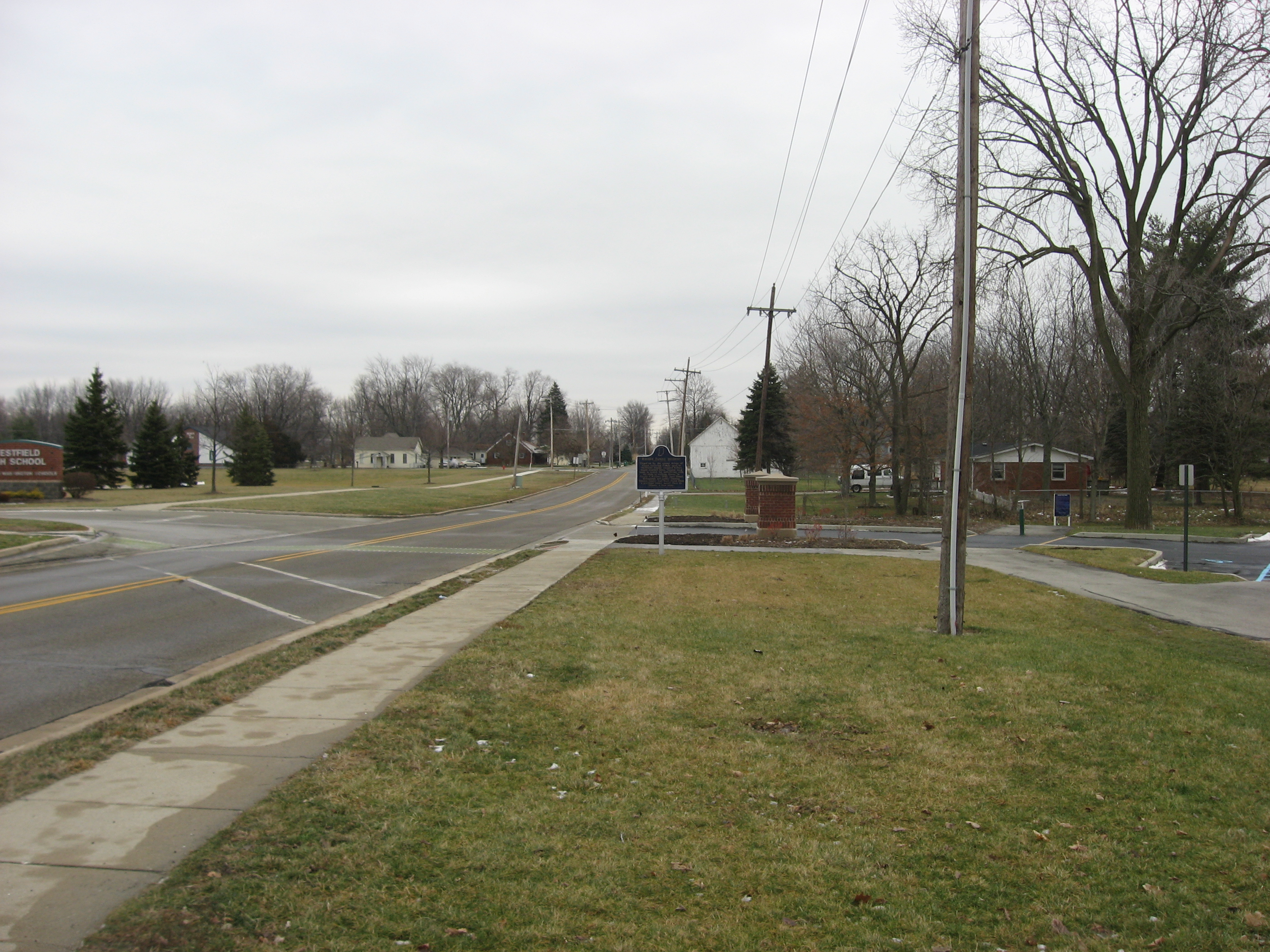
English: The immediate surroundings of the "Rhodes Family Incident" historical marker (text), located by Asa Bales Park along Hoover Street east of the U.S. Route 31 junction in Westfield, Indiana, United States. |
||
| Date | Taken on 16 January 2012 | ||
| Source | Own work | ||
| Author | Nyttend | ||
| Permission (Reusing this file) |
|
File history
Click on a date/time to view the file as it appeared at that time.
| Date/Time | Thumbnail | Dimensions | User | Comment | |
|---|---|---|---|---|---|
| current | 14:37, 28 January 2012 | | 2,816 × 2,112 (2.67 MB) | Nyttend (talk | contribs) | {{Location|40|3|0|N|86|7|48|W}} {{Information |Description={{en|The immediate surroundings of the "Rhodes Family Incident" historical marker ([http://www.in.gov/history/markers/554.htm text]), located by Asa Bales Park along Hoover Street east of the {{w| |
You cannot overwrite this file.
File usage on Commons
There are no pages that use this file.
File usage on other wikis
The following other wikis use this file:
- Usage on en.wikipedia.org
- Usage on ja.wikipedia.org