File:Riippusilta.jpg

Size of this preview: 800 × 521 pixels. Other resolutions: 320 × 208 pixels | 640 × 417 pixels | 1,024 × 667 pixels | 1,280 × 834 pixels | 2,560 × 1,667 pixels | 3,855 × 2,511 pixels.
Original file (3,855 × 2,511 pixels, file size: 2.53 MB, MIME type: image/jpeg)
Captions
Captions
Add a one-line explanation of what this file represents
Summary edit
| Description |
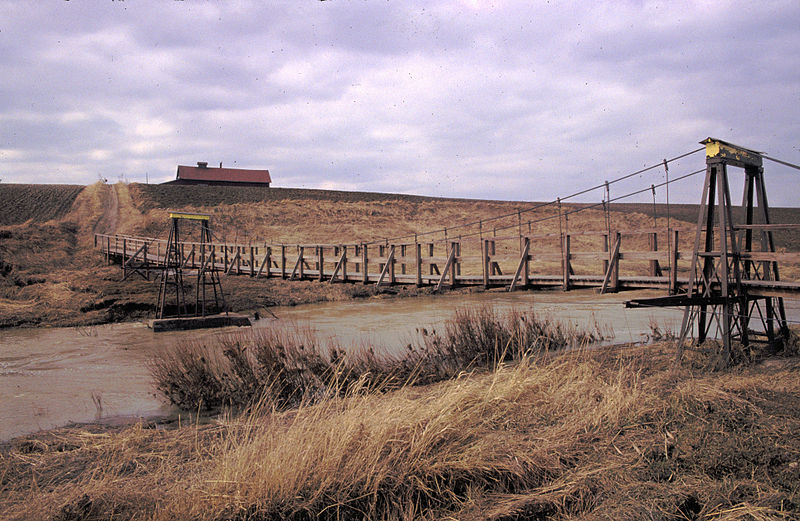
Suomi: Jäiden lähdössä tuhoutunut entinen riippusilta Uskelanjoen yli |
| Date | between 1980 and 1990 |
| Source | Own work |
| Author | Motopark |
| Camera location | | View this and other nearby images on: OpenStreetMap |
|---|
Licensing edit
| I, the copyright holder of this work, release this work into the public domain. This applies worldwide. In some countries this may not be legally possible; if so: I grant anyone the right to use this work for any purpose, without any conditions, unless such conditions are required by law. |
File history
Click on a date/time to view the file as it appeared at that time.
| Date/Time | Thumbnail | Dimensions | User | Comment | |
|---|---|---|---|---|---|
| current | 14:49, 16 November 2008 | | 3,855 × 2,511 (2.53 MB) | Motopark (talk | contribs) | {{Information |Description= |Source= |Date= |Author= |Permission= |other_versions= }} |
| 12:56, 16 November 2008 |  | 3,855 × 2,511 (2.53 MB) | Motopark (talk | contribs) | {{Information |Description=Jäiden lähdössä tuhoutunut entinen riippusilta Uskelanjoen yli |Source=self-made |Date=1980 - 1990 |Author= Motopark |Permission= |other_versions= }} Category:Salo |
You cannot overwrite this file.
File usage on Commons
The following page uses this file: