File:Ring 3 infotavle.jpg

Size of this preview: 800 × 542 pixels. Other resolutions: 320 × 217 pixels | 640 × 434 pixels | 1,024 × 694 pixels | 1,280 × 867 pixels | 1,650 × 1,118 pixels.
Original file (1,650 × 1,118 pixels, file size: 566 KB, MIME type: image/jpeg)
Captions
Captions
Add a one-line explanation of what this file represents
Summary edit
| Description |
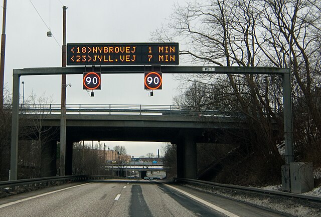
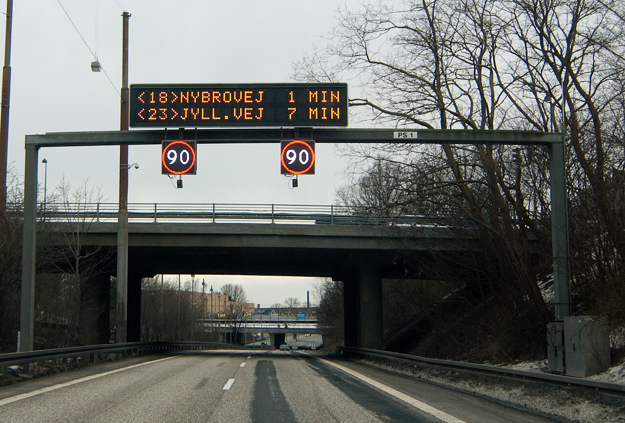
English: Electronic service info on Ring 3 on Zealand in Denmark. It gives the estimated time to the next two major exits as well as the current speed limit. |
| Date | |
| Source | Own work |
| Author | heb@Wikimedia Commons (mail) |
| Permission (Reusing this file) |
Attribution (see license details below), to be credited with
|
| Camera location | | View this and other nearby images on: OpenStreetMap |
|---|
Licensing edit
This file is licensed under the Creative Commons Attribution-Share Alike 3.0 Unported license.
- You are free:
- to share – to copy, distribute and transmit the work
- to remix – to adapt the work
- Under the following conditions:
- attribution – You must give appropriate credit, provide a link to the license, and indicate if changes were made. You may do so in any reasonable manner, but not in any way that suggests the licensor endorses you or your use.
- share alike – If you remix, transform, or build upon the material, you must distribute your contributions under the same or compatible license as the original.
File history
Click on a date/time to view the file as it appeared at that time.
| Date/Time | Thumbnail | Dimensions | User | Comment | |
|---|---|---|---|---|---|
| current | 07:40, 3 April 2013 | | 1,650 × 1,118 (566 KB) | Heb (talk | contribs) | Wikify EXIF. Original upload date: 2010-02-28 |
You cannot overwrite this file.
File usage on Commons
The following page uses this file:
File usage on other wikis
The following other wikis use this file:
- Usage on nl.wikipedia.org