File:River Kana and village Atikovo.jpg
Size of this preview: 800 × 450 pixels. Other resolutions: 320 × 180 pixels | 640 × 360 pixels | 1,024 × 576 pixels | 1,280 × 720 pixels | 2,560 × 1,440 pixels | 3,968 × 2,232 pixels.
Original file (3,968 × 2,232 pixels, file size: 5.66 MB, MIME type: image/jpeg)
Captions
Captions
Add a one-line explanation of what this file represents
Summary
edit
| Description |
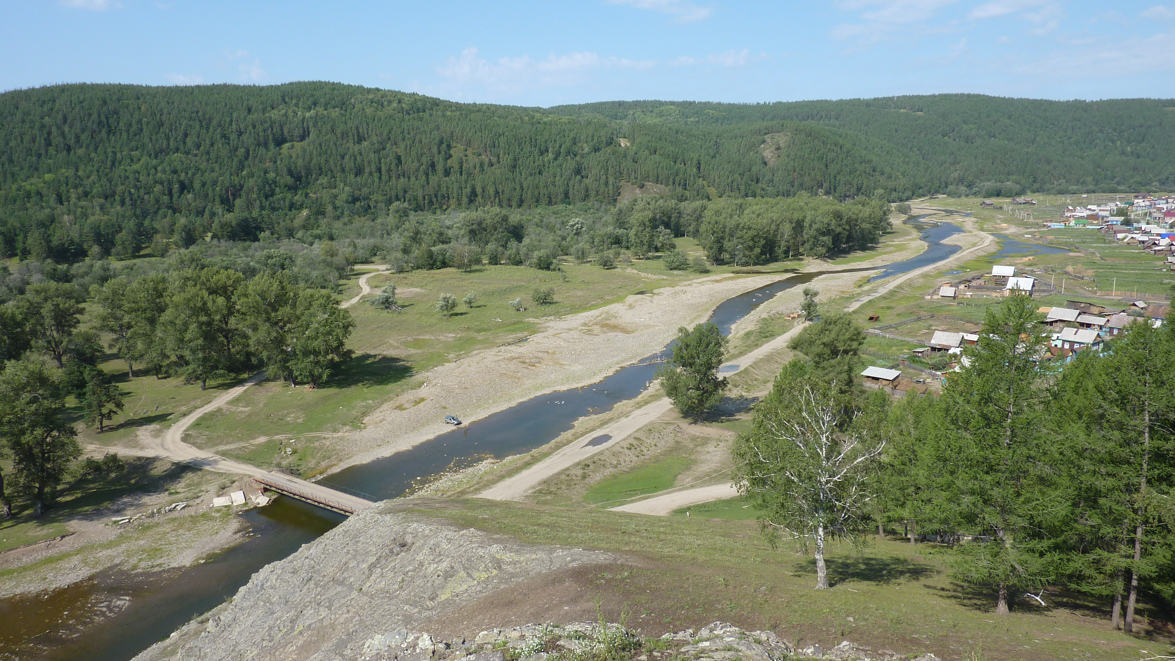
English: View from the cliff to the river Kana and the village Atikovo. Hrvatski: Pogled s litice na rijeku Kanu i selo Atikovo. Русский: Вид со скалы на реку Кана и деревню Атиково. |
| Date | |
| Source | panoramio |
| Author | Pesotsky |
| Camera location | | View this and other nearby images on: OpenStreetMap |
|---|
Licensing
edit
This file is licensed under the Creative Commons Attribution 3.0 Unported license.
- You are free:
- to share – to copy, distribute and transmit the work
- to remix – to adapt the work
- Under the following conditions:
- attribution – You must give appropriate credit, provide a link to the license, and indicate if changes were made. You may do so in any reasonable manner, but not in any way that suggests the licensor endorses you or your use.
| This image, which was originally posted to Panoramio, was reviewed on 26 February 2012 by the administrator or trusted user Materialscientist, who confirmed that it was available on Panoramio under the above license on that date. |
File history
Click on a date/time to view the file as it appeared at that time.
| Date/Time | Thumbnail | Dimensions | User | Comment | |
|---|---|---|---|---|---|
| current | 03:36, 26 February 2012 | | 3,968 × 2,232 (5.66 MB) | Materialscientist (talk | contribs) | apparently last upload failed |
| 23:15, 25 February 2012 | No thumbnail | 0 × 0 (5.66 MB) | Vhorvat (talk | contribs) | {{Information |Description={{en|1=View from the cliff to the river Kana and the village Atikovo.}}{{hr|Pogled s litice na rijeku Kanu i selo Atikovo.}}{{ru|Вид со скалы на реку Кана и деревню Атиково.}} |Source=[http:... |
You cannot overwrite this file.
File usage on Commons
There are no pages that use this file.