File:Road Lahti 1989.jpg
Size of this preview: 800 × 534 pixels. Other resolutions: 320 × 214 pixels | 640 × 427 pixels | 1,024 × 684 pixels | 1,280 × 855 pixels | 1,713 × 1,144 pixels.
Original file (1,713 × 1,144 pixels, file size: 624 KB, MIME type: image/jpeg)
Captions
Captions
Add a one-line explanation of what this file represents
Summary edit
| Description |
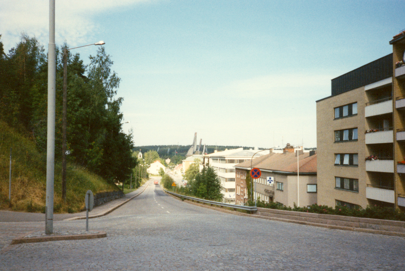
English: Road in Lahti, Finland in 1989
Suomi: Tie Lahdessa vuonna 1989 |
| Date | |
| Source |
|
| Author | Matti Mattila |
| Camera location | | View this and other nearby images on: OpenStreetMap |
|---|
Licensing edit
This file is licensed under the Creative Commons Attribution 2.0 Generic license.
- You are free:
- to share – to copy, distribute and transmit the work
- to remix – to adapt the work
- Under the following conditions:
- attribution – You must give appropriate credit, provide a link to the license, and indicate if changes were made. You may do so in any reasonable manner, but not in any way that suggests the licensor endorses you or your use.
| This image, originally posted to Flickr, was reviewed on 27 January 2010 by the administrator or reviewer File Upload Bot (Magnus Manske), who confirmed that it was available on Flickr under the stated license on that date. |
File history
Click on a date/time to view the file as it appeared at that time.
| Date/Time | Thumbnail | Dimensions | User | Comment | |
|---|---|---|---|---|---|
| current | 21:50, 27 January 2010 | | 1,713 × 1,144 (624 KB) | File Upload Bot (Magnus Manske) (talk | contribs) | {{Information |Description=In the junction of the radio museum hill |Source=[http://www.flickr.com/photos/65448940@N00/1242036398/ Downtown Lahti] * Uploaded by A333 |Date=1989-06-01 00:00 |Author=[http://www.flickr.com/people/65448940@N00 M |
You cannot overwrite this file.
File usage on Commons
There are no pages that use this file.