File:Roann Covered Bridge.jpg

Size of this preview: 800 × 600 pixels. Other resolutions: 320 × 240 pixels | 640 × 480 pixels | 1,024 × 768 pixels | 1,280 × 960 pixels | 2,560 × 1,920 pixels | 2,816 × 2,112 pixels.
Original file (2,816 × 2,112 pixels, file size: 3.56 MB, MIME type: image/jpeg)
Captions
Captions
Add a one-line explanation of what this file represents
|
This is an image of a place or building that is listed on the National Register of Historic Places in the United States of America. Its reference number is 81000022. |
| Camera location | | View this and other nearby images on: OpenStreetMap |
|---|
| Description |
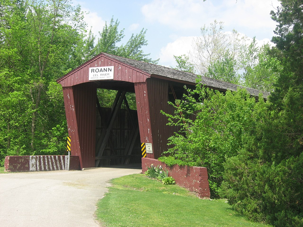
English: Southern portal and eastern (upstream) side of the Roann Covered Bridge, which spans the Eel River in Roann, Indiana, United States. Built in 1916, it is listed on the National Register of Historic Places, and it is part of a Register-listed historic district, the Roann Historic District. |
||
| Date | Taken on 8 May 2012 | ||
| Source | Own work | ||
| Author | Nyttend | ||
| Permission (Reusing this file) |
|
File history
Click on a date/time to view the file as it appeared at that time.
| Date/Time | Thumbnail | Dimensions | User | Comment | |
|---|---|---|---|---|---|
| current | 04:17, 11 May 2012 | | 2,816 × 2,112 (3.56 MB) | Nyttend (talk | contribs) | {{NRHP|81000022}} {{Location|40|54|56|N|85|55|27|W}} {{Information |Description={{en|Southern portal and eastern (upstream) side of the {{w|Roann Covered Bridge}}, which spans the {{w|Eel River (Wabash River)|Eel River}} in {{w|Roann, Indiana|Roann}}, ... |
You cannot overwrite this file.
File usage on Commons
The following page uses this file:
File usage on other wikis
The following other wikis use this file:
- Usage on en.wikipedia.org
- Usage on www.wikidata.org