File:Rombergpark-100331-11495-Bachlauf.jpg
Size of this preview: 800 × 536 pixels. Other resolutions: 320 × 214 pixels | 640 × 428 pixels | 1,024 × 685 pixels | 1,280 × 857 pixels | 2,560 × 1,714 pixels | 3,315 × 2,219 pixels.
Original file (3,315 × 2,219 pixels, file size: 5.81 MB, MIME type: image/jpeg)
Captions
Captions
Add a one-line explanation of what this file represents
| Description |
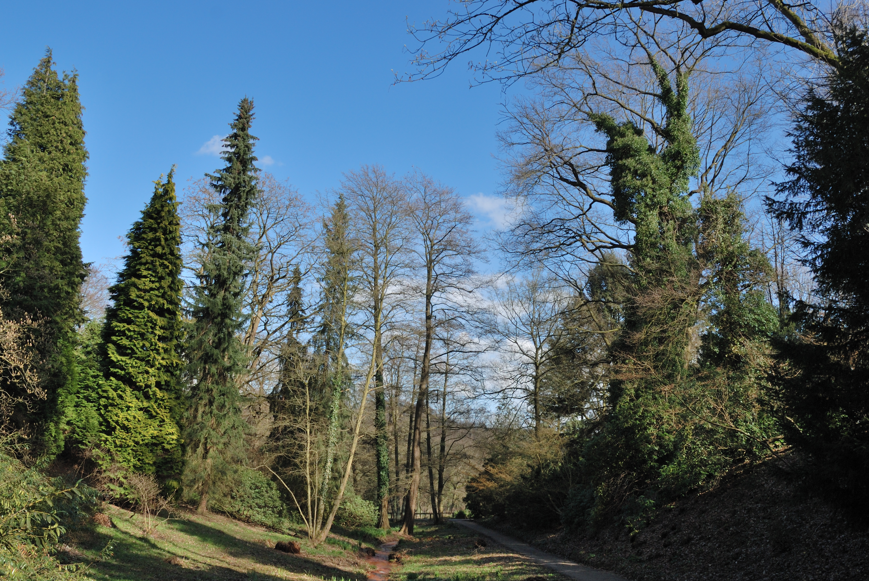
Deutsch: Bachlauf westlich des Hauptweges im Rombergpark in Dortmund, Brücke; Im Rombergpark fördern mehrere Quellen Eisenocker, der aus dem Eisenstein zwischen den Kohleflözen gelöst wird. Das Wasser am östlichen Berghang hat eine Temperatur von 9° und stammt daher aus geringer Tiefe, die Quellen westlich des Hauptweges (wie diese) führen Grubenwasser der ehemaligen Zeche Glückaufsegen und sind das ganze Jahr 13-15° warm und stammen daher aus größerer Tiefe. |
| Date | |
| Source | Own work |
| Author | Mbdortmund |
| Camera location | | View this and other nearby images on: OpenStreetMap |
|---|

|
Permission is granted to copy, distribute and/or modify this document under the terms of the GNU Free Documentation License, Version 1.2 only as published by the Free Software Foundation; with no Invariant Sections, no Front-Cover Texts, and no Back-Cover Texts. A copy of the license is included in the section entitled GNU Free Documentation License. | 1.2 only |
File history
Click on a date/time to view the file as it appeared at that time.
| Date/Time | Thumbnail | Dimensions | User | Comment | |
|---|---|---|---|---|---|
| current | 21:50, 4 April 2010 | | 3,315 × 2,219 (5.81 MB) | Mbdortmund (talk | contribs) | {{Information |Description={{de|Bachlauf westlich des Hauptweges im Romberpark in Dortmund, Brücke;<br> Im Rombergpark fördern mehrere Quellen Eisenocker, der aus dem Eisenstein zwischen den Kohleflözen gelöst wird. Das Wa |
You cannot overwrite this file.
File usage on Commons
The following page uses this file: