File:Round Hill - geograph.org.uk - 1556449.jpg
No higher resolution available.
Round_Hill_-_geograph.org.uk_-_1556449.jpg (640 × 480 pixels, file size: 74 KB, MIME type: image/jpeg)
Captions
Captions
Add a one-line explanation of what this file represents
Summary edit
| Description |
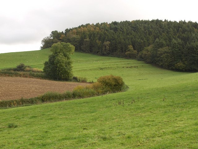
English: Round Hill Numerous hill names crowd the map here. Benchy Hill is to the left, with the field dropping away steeply out of sight. The woodland swiftly changes from Round Hill to Hack Hill and to Patson Hill as it crosses the combe and moves along the steep hillside westwards. From bridleway N30/9 on Patson Hill Lane. |
| Date | |
| Source | From geograph.org.uk |
| Author | Derek Harper |
| Attribution (required by the license) | Derek Harper / Round Hill / |
| Camera location | | View this and other nearby images on: OpenStreetMap |
|---|
_heading:135.00&language=en)
| Object location | | View this and other nearby images on: OpenStreetMap |
|---|
_heading:135.00&language=en)
Licensing edit

|
This image was taken from the Geograph project collection. See this photograph's page on the Geograph website for the photographer's contact details. The copyright on this image is owned by Derek Harper and is licensed for reuse under the Creative Commons Attribution-ShareAlike 2.0 license.
|
This file is licensed under the Creative Commons Attribution-Share Alike 2.0 Generic license.
Attribution: Derek Harper
- You are free:
- to share – to copy, distribute and transmit the work
- to remix – to adapt the work
- Under the following conditions:
- attribution – You must give appropriate credit, provide a link to the license, and indicate if changes were made. You may do so in any reasonable manner, but not in any way that suggests the licensor endorses you or your use.
- share alike – If you remix, transform, or build upon the material, you must distribute your contributions under the same or compatible license as the original.

|
The categories of this image need checking. You can do so here.
|
File history
Click on a date/time to view the file as it appeared at that time.
| Date/Time | Thumbnail | Dimensions | User | Comment | |
|---|---|---|---|---|---|
| current | 14:16, 3 March 2011 | | 640 × 480 (74 KB) | GeographBot (talk | contribs) | == {{int:filedesc}} == {{Information |description={{en|1=Round Hill Numerous hill names crowd the map here. Benchy Hill is to the left, with the field dropping away steeply out of sight. The woodland swiftly changes from Round Hill to Hack Hill and to Pat |
You cannot overwrite this file.
File usage on Commons
There are no pages that use this file.