File:Rowley Colliery.jpg

Size of this preview: 800 × 600 pixels. Other resolutions: 320 × 240 pixels | 640 × 480 pixels | 1,024 × 768 pixels | 1,280 × 960 pixels | 2,560 × 1,919 pixels | 4,008 × 3,005 pixels.
Original file (4,008 × 3,005 pixels, file size: 6.63 MB, MIME type: image/jpeg)
Captions
Captions
Add a one-line explanation of what this file represents
Summary edit
| Description |
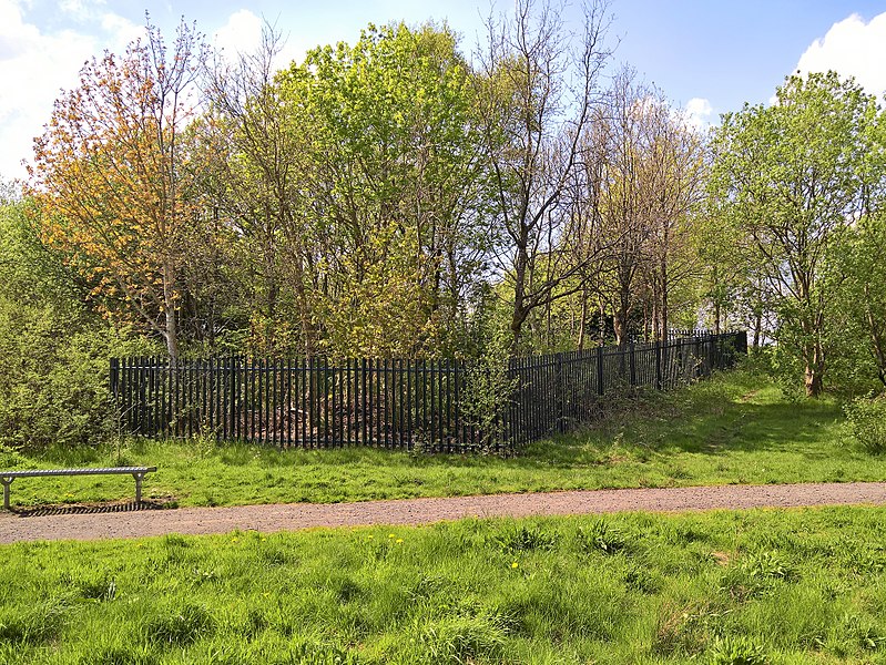
English: The site of Rowley Colliery on the Burnley / Worsthone boundary. Today the area (within the Brun Valley Forest Park) is vastly changed. When the coal mine was active the land sloped down to the River Brun which would have been in the background. The course of river was moved around 1980 and now the land slopes upward and the river is behind me. |
| Date | |
| Source | Own work |
| Author | Trappedinburnley |
| Camera location | | View this and other nearby images on: OpenStreetMap |
|---|
Licensing edit
I, the copyright holder of this work, hereby publish it under the following license:
This file is licensed under the Creative Commons Attribution-Share Alike 4.0 International license.
- You are free:
- to share – to copy, distribute and transmit the work
- to remix – to adapt the work
- Under the following conditions:
- attribution – You must give appropriate credit, provide a link to the license, and indicate if changes were made. You may do so in any reasonable manner, but not in any way that suggests the licensor endorses you or your use.
- share alike – If you remix, transform, or build upon the material, you must distribute your contributions under the same or compatible license as the original.
File history
Click on a date/time to view the file as it appeared at that time.
| Date/Time | Thumbnail | Dimensions | User | Comment | |
|---|---|---|---|---|---|
| current | 18:23, 12 May 2018 | | 4,008 × 3,005 (6.63 MB) | Trappedinburnley (talk | contribs) | User created page with UploadWizard |
You cannot overwrite this file.
File usage on Commons
There are no pages that use this file.