File:Runde tussen Ter Apel en Roswinkel op Topokaart 1935.jpg

Original file (636 × 1,208 pixels, file size: 439 KB, MIME type: image/jpeg)
Captions
Captions
Summary edit
| Description |
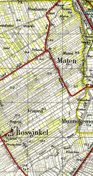
English: Runde between Roswinkel and Ter Apel on the topographical map of 1935
Nederlands: Runde tussen Roswinkel en ter Apel op de topografische kaart van 1935. Er liggen twee waterlopen met deze naam waarvan de één de Oude Runde wordt genoemd en de ander de Nieuwe Runde |
| Date | |
| Source | Topografische kaart 1:50.000 nr 18 Roswinkel. Verkend in 1933, uitgegeven in 1935 |
| Author | Topografische dienst vallend onder het ministerie van Defensie auteursrechten voorbehouden aan de Staat der nederlanden |
| Permission (Reusing this file) |
Auteursrechten voorbehouden aan de Staat der Nederlanden. De kaart is echter ouder dan 70 jaar en deze rechten zijn daarom vervallen |
Licensing edit
|
This work is in the public domain in its country of origin and other countries and areas where the copyright term is the author's life plus 70 years or fewer.
| |
| This file has been identified as being free of known restrictions under copyright law, including all related and neighboring rights. | |
File history
Click on a date/time to view the file as it appeared at that time.
| Date/Time | Thumbnail | Dimensions | User | Comment | |
|---|---|---|---|---|---|
| current | 13:30, 24 September 2008 | | 636 × 1,208 (439 KB) | Roepers (talk | contribs) | {{Information |Description={{en|1=Runde between Roswinkel and Ter Apel on the topographical map of 1935}} {{nl|1=Runde tussen Roswinkel en ter Apel op de topografische kaart van 1935. Er liggen twee waterlopen met deze naam waarvan de één de Oude Runde |
You cannot overwrite this file.
File usage on Commons
There are no pages that use this file.
File usage on other wikis
The following other wikis use this file:
- Usage on nl.wikipedia.org