File:Russia Primorsky Krai location map.svg

Size of this PNG preview of this SVG file: 537 × 530 pixels. Other resolutions: 243 × 240 pixels | 486 × 480 pixels | 778 × 768 pixels | 1,038 × 1,024 pixels | 2,075 × 2,048 pixels.
Original file (SVG file, nominally 537 × 530 pixels, file size: 86 KB)
Captions
Captions
Add a one-line explanation of what this file represents
Summary edit
| Description |
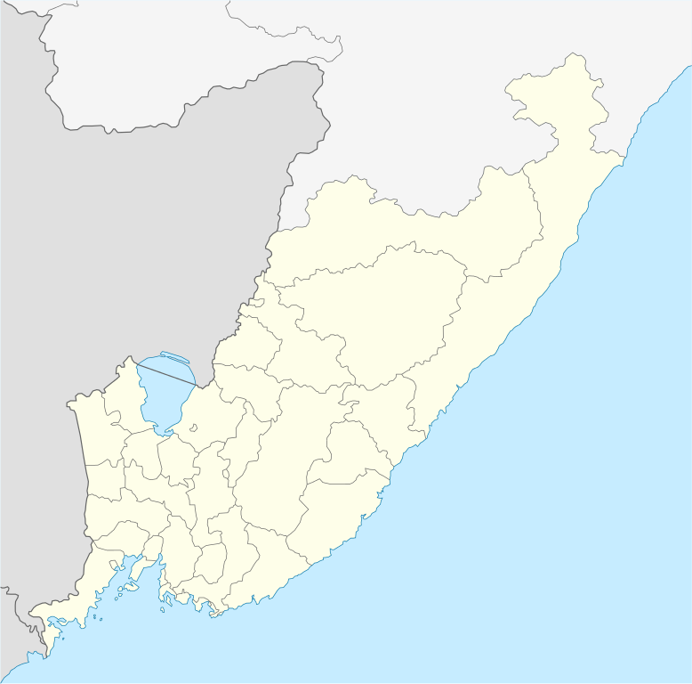
English: Primorsky Krai location map
Equirectangular projection, N/S stretching 141 %. True scale parallel: 45°00' N. Geographic limits of the map:
|
| Date | |
| Source | Own work |
| Author | Das steinerne Herz |
| SVG development | This vector image was created with Adobe Illustrator. |
Licensing edit
I, the copyright holder of this work, hereby publish it under the following license:
This file is licensed under the Creative Commons Attribution-Share Alike 3.0 Unported license.
- You are free:
- to share – to copy, distribute and transmit the work
- to remix – to adapt the work
- Under the following conditions:
- attribution – You must give appropriate credit, provide a link to the license, and indicate if changes were made. You may do so in any reasonable manner, but not in any way that suggests the licensor endorses you or your use.
- share alike – If you remix, transform, or build upon the material, you must distribute your contributions under the same or compatible license as the original.
File history
Click on a date/time to view the file as it appeared at that time.
| Date/Time | Thumbnail | Dimensions | User | Comment | |
|---|---|---|---|---|---|
| current | 06:54, 29 July 2011 | | 537 × 530 (86 KB) | Das steinerne Herz (talk | contribs) |
You cannot overwrite this file.
File usage on Commons
There are no pages that use this file.
File usage on other wikis
The following other wikis use this file:
- Usage on af.wikipedia.org
- Usage on azb.wikipedia.org
- Usage on az.wikipedia.org
- Usage on be.wikipedia.org
- Уладзівасток
- Находка
- Усурыйск
- Фокіна (Прыморскі край)
- Дальнягорск
- Вялікі Камень (горад)
- Арцём
- Арсеньеў (горад)
- Шаблон:На карце/Расія Прыморскі край
- Лучагорск
- Пагранічны (Прыморскі край)
- Кавалерава
- Чугуеўка
- Кіраўскі (Прыморскі край)
- Яраслаўскі (Прыморскі край)
- Сібірцава
- Славянка (Прыморскі край)
- Барабаш
- Хароль
- Чарнігаўка (Прыморскі край)
- Анучына (Прыморскі край)
- Вольна-Надзеждзінскае
- Камень-Рыбалоў
- Лазо (Лазоўскі раён)
- Міхайлаўка (Міхайлаўскі раён, Прыморскі край)
- Якаўлеўка (Прыморскі край)
- Уладзіміра-Аляксандраўскае
- Пакроўка (Акцярбскі раён, Прыморскі край)
- Новапакроўка (Чырвонаармейскі раён)
- Васток (Прыморскі край)
- Пуцяцін (Прыморскі край)
- Горныя Ключы
- Дунай (Прыморскі край)
- Зарубіна (Прыморскі край)
- Гарнарэчанскі
- Краскіна
- Ліпаўцы (пасёлак гарадскога тыпу, Прыморскі край)
- Навашахцінскі
- Ольга (Прыморскі край)
- Пасьет
- Пластун (Прыморскі край)
- Праабражэнне (Прыморскі край)
- Прыморскі (Прыморскі край)
- Светлая (Прыморскі край)
View more global usage of this file.