File:Rypin location map.svg

Size of this PNG preview of this SVG file: 606 × 599 pixels. Other resolutions: 243 × 240 pixels | 486 × 480 pixels | 777 × 768 pixels | 1,036 × 1,024 pixels | 2,071 × 2,048 pixels | 795 × 786 pixels.
Original file (SVG file, nominally 795 × 786 pixels, file size: 245 KB)
Captions
Captions
Add a one-line explanation of what this file represents
| Description |
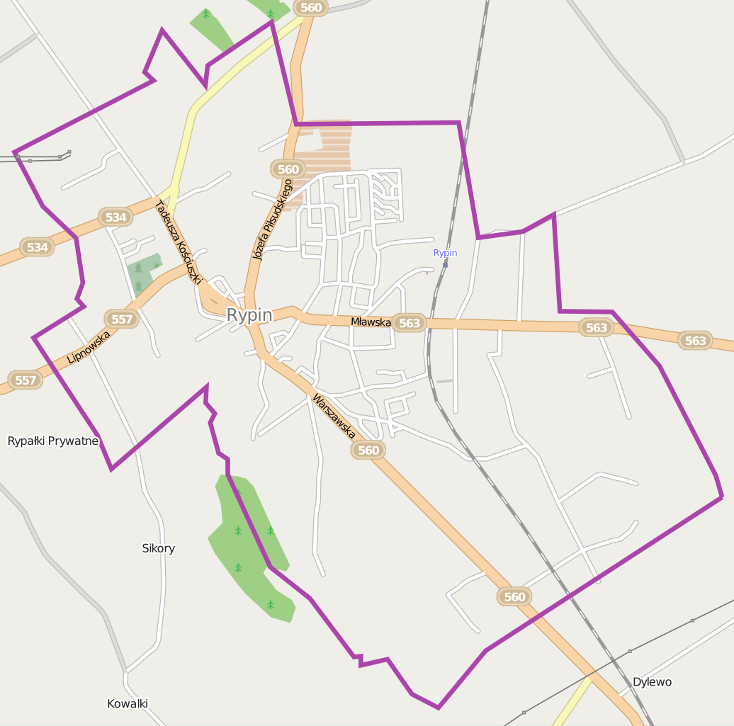
Polski: Mapa miasta Rypin, Polska
English: Map of Rypin, Poland |
|||||||||
| Date | ||||||||||
| Source | You may find a page on the OpenStreetMap wiki page for Rypin | |||||||||
| Creator |
OpenStreetMap contributors OpenStreetMap contributors |
|||||||||
| Permission (Reusing this file) |
OpenStreetMap data is available under the Open Database License (details). Map tiles are licensed under the Creative Commons Attribution-ShareAlike 2.0 license (CC-BY-SA 2.0).
This file is licensed under the Creative Commons Attribution-Share Alike 2.0 Generic license.
|
|||||||||
| Geotemporal data | ||||||||||
| Bounding box |
|
|||||||||
| Georeferencing | If inappropriate please set warp_status = skip to hide. | |||||||||
File history
Click on a date/time to view the file as it appeared at that time.
| Date/Time | Thumbnail | Dimensions | User | Comment | |
|---|---|---|---|---|---|
| current | 08:39, 28 May 2014 | | 795 × 786 (245 KB) | VanWiel (talk | contribs) | border |
| 06:43, 26 May 2014 |  | 795 × 786 (246 KB) | VanWiel (talk | contribs) | {{OpenStreetMap | name = Rypin | location = Rypin | description = {{pl|Mapa miasta Rypin, Polska}} {{en|Map of Rypin, Poland}} | top = 53.0846 | left = 19.3845 | right = 19.4566 | bottom... |
You cannot overwrite this file.
File usage on Commons
The following page uses this file:
File usage on other wikis
The following other wikis use this file:
- Usage on pl.wikipedia.org
- ROTR Spółdzielnia Mleczarska w Rypinie
- Rypin (stacja kolejowa)
- Cmentarz żydowski w Rypinie
- Kujawsko-Dobrzyńska Spółdzielnia Handlowa w Rypinie
- Kaplica św. Barbary w Rypinie
- Kościół Świętej Trójcy w Rypinie
- Kościół Najświętszego Serca Jezusa Chrystusa w Rypinie
- Kościół Świętego Ducha w Rypinie
- Parafia św. Stanisława Kostki w Rypinie
- Parafia Świętej Trójcy w Rypinie
- Rypin Wąskotorowy
- Parafia Ewangelicko-Augsburska w Rypinie
- Zbór Kościoła Zielonoświątkowego „Arka” w Rypinie
- Muzeum Ziemi Dobrzyńskiej w Rypinie
- Moduł:Mapa/dane/Rypin
- Kościół ewangelicko-augsburski w Rypinie
- Stadion MOSiR w Rypinie
- Usage on pl.wikibooks.org
- Usage on pt.wikipedia.org