File:SOUTHEAST END AND NORTHEAST FRONT - Old Beersheba Inn, Armfield Avenue, Beersheba Springs, Grundy County, TN HABS TENN,31-BERSP,1-5.tif

Size of this JPG preview of this TIF file: 800 × 575 pixels. Other resolutions: 320 × 230 pixels | 640 × 460 pixels | 1,024 × 736 pixels | 1,280 × 920 pixels | 2,560 × 1,841 pixels | 5,000 × 3,595 pixels.
Original file (5,000 × 3,595 pixels, file size: 17.14 MB, MIME type: image/tiff)
Captions
Captions
Add a one-line explanation of what this file represents
Summary edit
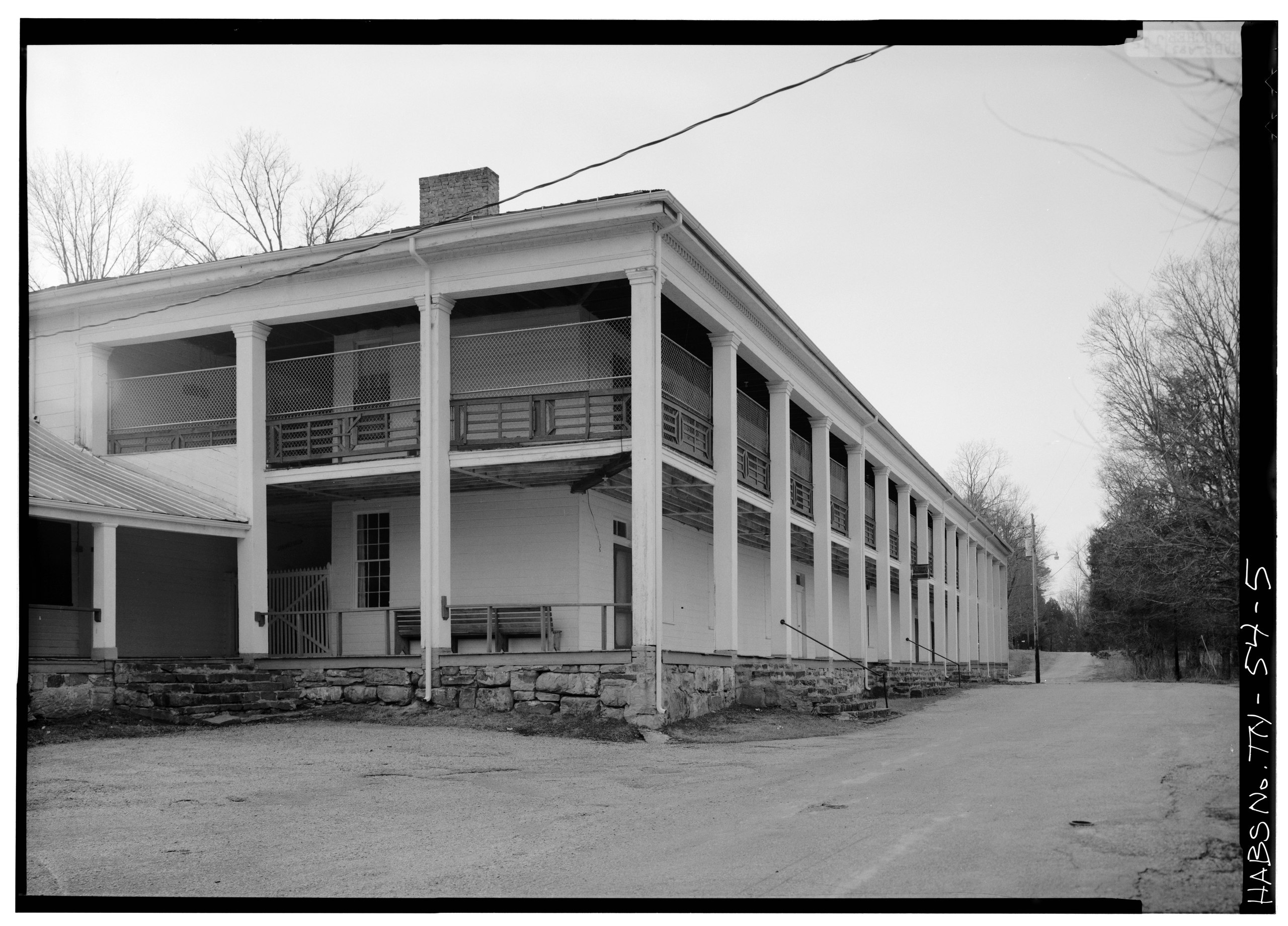
| SOUTHEAST END AND NORTHEAST FRONT - Old Beersheba Inn, Armfield Avenue, Beersheba Springs, Grundy County, TN
( |
||||||||||||||||||||||||||
|---|---|---|---|---|---|---|---|---|---|---|---|---|---|---|---|---|---|---|---|---|---|---|---|---|---|---|
| Photographer |
|
|||||||||||||||||||||||||
| Title |
SOUTHEAST END AND NORTHEAST FRONT - Old Beersheba Inn, Armfield Avenue, Beersheba Springs, Grundy County, TN |
|||||||||||||||||||||||||
| Description |
Armfield, John |
|||||||||||||||||||||||||
| Depicted place | Tennessee; Grundy County; Beersheba Springs | |||||||||||||||||||||||||
| Date | 1983 | |||||||||||||||||||||||||
| Dimensions | 5 x 7 in. | |||||||||||||||||||||||||
| Current location |
Library of Congress Prints and Photographs Division Washington, D.C. 20540 USA http://hdl.loc.gov/loc.pnp/pp.print |
|||||||||||||||||||||||||
| Accession number |
HABS TENN,31-BERSP,1-5 |
|||||||||||||||||||||||||
| Credit line |
|
|||||||||||||||||||||||||
| Notes |
|
|||||||||||||||||||||||||
| Source | https://www.loc.gov/pictures/item/tn0069.photos.153212p | |||||||||||||||||||||||||
| Permission (Reusing this file) |
|
|||||||||||||||||||||||||

File history
Click on a date/time to view the file as it appeared at that time.
| Date/Time | Thumbnail | Dimensions | User | Comment | |
|---|---|---|---|---|---|
| current | 00:03, 2 August 2014 |  | 5,000 × 3,595 (17.14 MB) | Fæ (talk | contribs) | GWToolset: Creating mediafile for Fæ. HABS 2014-08-01 (3201:3400) |
You cannot overwrite this file.
File usage on Commons
The following page uses this file: