File:STAPP 116 Point Fortin Salazar Village.jpg

Size of this preview: 800 × 454 pixels. Other resolutions: 320 × 182 pixels | 640 × 363 pixels | 1,024 × 581 pixels | 1,280 × 726 pixels | 2,560 × 1,452 pixels | 3,840 × 2,178 pixels.
Original file (3,840 × 2,178 pixels, file size: 6.26 MB, MIME type: image/jpeg)
Captions
Captions
Add a one-line explanation of what this file represents
Summary edit
| Description |
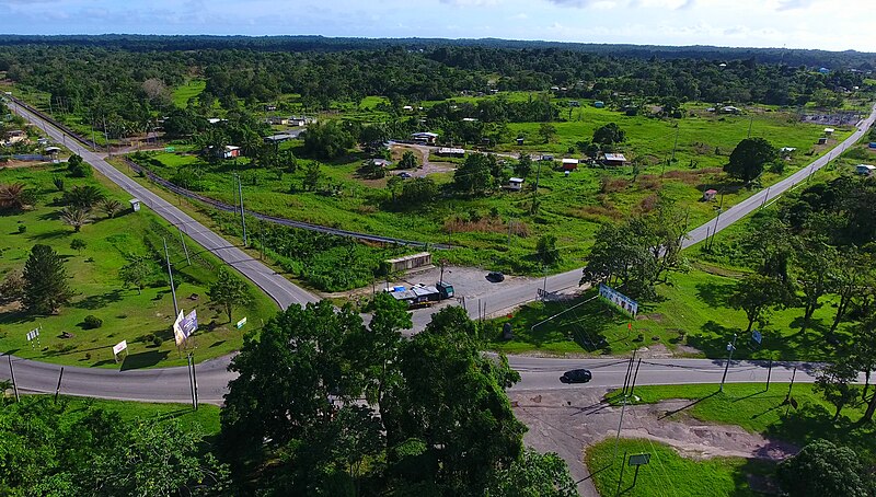
English: Salazar Village, Point Fortin, Trinidad and Tobago.
Road bottom left to bottom right: Southern Main Road. Road branching off to top right: South Central Road. Photo taken as part of the Southern Trinidad Aerial Photo Project, a small project sponsored by WMDE. Drone used: DJI Phantom 4. Snapshot taken from video footage via VLC. |
||
| Date | |||
| Source | Own work | ||
| Author | Grueslayer | ||
| Permission (Reusing this file) |
|
| Camera location | | View this and other nearby images on: OpenStreetMap |
|---|
Licensing edit
I, the copyright holder of this work, hereby publish it under the following license:
This file is licensed under the Creative Commons Attribution-Share Alike 4.0 International license.
- You are free:
- to share – to copy, distribute and transmit the work
- to remix – to adapt the work
- Under the following conditions:
- attribution – You must give appropriate credit, provide a link to the license, and indicate if changes were made. You may do so in any reasonable manner, but not in any way that suggests the licensor endorses you or your use.
- share alike – If you remix, transform, or build upon the material, you must distribute your contributions under the same or compatible license as the original.
File history
Click on a date/time to view the file as it appeared at that time.
| Date/Time | Thumbnail | Dimensions | User | Comment | |
|---|---|---|---|---|---|
| current | 17:21, 2 April 2017 | | 3,840 × 2,178 (6.26 MB) | Grueslayer (talk | contribs) | User created page with UploadWizard |
You cannot overwrite this file.
File usage on Commons
The following page uses this file:
File usage on other wikis
The following other wikis use this file:
- Usage on ar.wikipedia.org
- Usage on de.wikivoyage.org
- Usage on en.wikivoyage.org
- Usage on es.wikipedia.org
- Usage on he.wikipedia.org
- Usage on he.wikivoyage.org
- Usage on hy.wikipedia.org
- Usage on ru.wikipedia.org
- Usage on www.wikidata.org