File:SVK Tatry.svg

Size of this PNG preview of this SVG file: 800 × 396 pixels. Other resolutions: 320 × 158 pixels | 640 × 316 pixels | 1,024 × 506 pixels | 1,280 × 633 pixels | 2,560 × 1,266 pixels | 811 × 401 pixels.
Original file (SVG file, nominally 811 × 401 pixels, file size: 5.12 MB)
Captions
Captions
Add a one-line explanation of what this file represents
| Description |
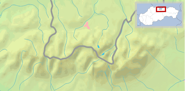
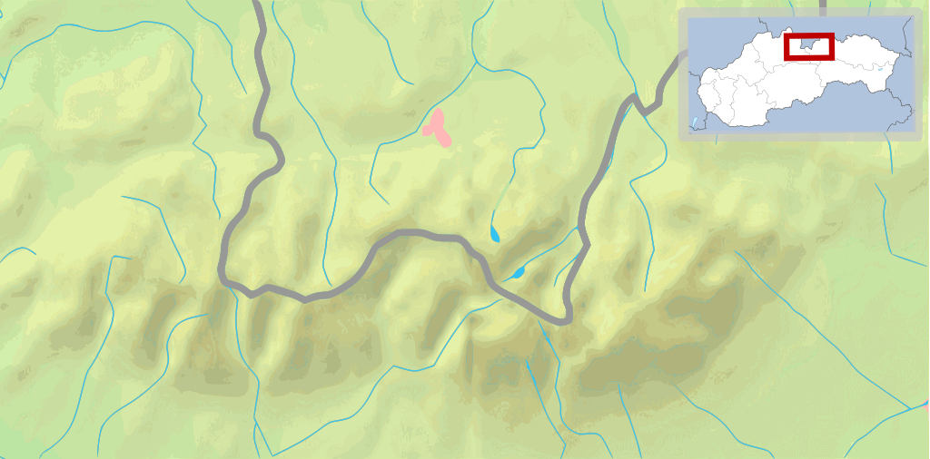
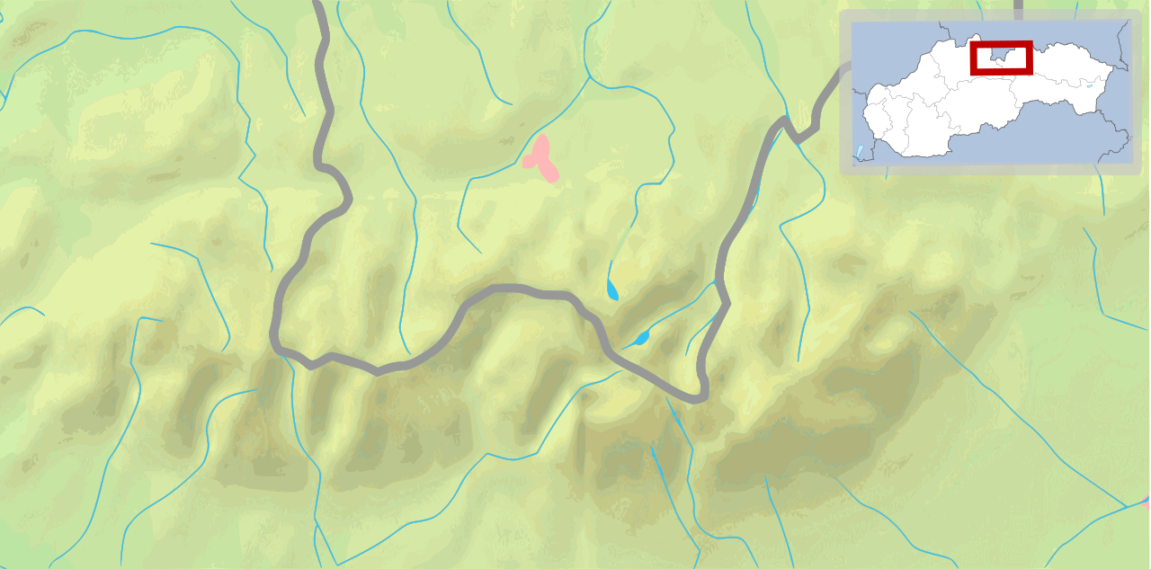
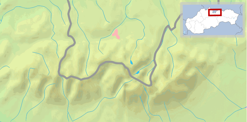
English: Map of the Tatra Mountains Polski: Mapa Tatr |
||
| Date | (UTC) | ||
| Source | |||
| Author |
|
||
| Other versions |
File:POL Tatry.svg:  |
||
| SVG development |
|


This file is licensed under the Creative Commons Attribution-Share Alike 3.0 Unported license.
- You are free:
- to share – to copy, distribute and transmit the work
- to remix – to adapt the work
- Under the following conditions:
- attribution – You must give appropriate credit, provide a link to the license, and indicate if changes were made. You may do so in any reasonable manner, but not in any way that suggests the licensor endorses you or your use.
- share alike – If you remix, transform, or build upon the material, you must distribute your contributions under the same or compatible license as the original.
Original upload log edit
This image is a derivative work of the following images:
- File:Tatry mapa 2.png licensed with PD-Demis
- 2008-09-02T21:41:25Z ToSter 811x401 (305387 Bytes) {{Information |Description={{en|1=Map of the Tatra Mountains}} {{pl|1=Mapa Tatr}} |Source=PD map from Demis - modified version of [[:Image:Tatry mapa.png]] by [[User:Botev]] |Author=[[User:ToSter|ToSter]] |Date=Sep 2nd, 2008
- File:Poland location map white.svg licensed with Cc-by-sa-3.0, Cc-by-sa-3.0/en
- 2009-01-29T00:51:50Z Mareklug 862x838 (358904 Bytes) {{Information |Description={{de| Positionskarte von Polen auf weissem Hintergrund. Quadratische Plattkarte, N-S-Streckung 160 %. Geographische Begrenzung der Karte: * N: 55.2° N * S: 48.7° N * W: 13.8° O * O: 24.5° O {{en
Uploaded with derivativeFX
File history
Click on a date/time to view the file as it appeared at that time.
| Date/Time | Thumbnail | Dimensions | User | Comment | |
|---|---|---|---|---|---|
| current | 10:27, 11 February 2009 | | 811 × 401 (5.12 MB) | Mareklug (talk | contribs) | pozycjonowanie w górnym rogu na życzenie, ramka (subtelna, półprzezroczysta) / positioning in upper corner on request, border (a suttle, semi-transparent one) |
| 03:14, 11 February 2009 |  | 811 × 401 (5.12 MB) | Mareklug (talk | contribs) | pozycjonowanie mapki Slowacji aby nie zakrywala Tatr :) Moze byc tak nietypowo, pod katem? I dodanie prostokaciku czerwonego dla orientacji. / positioning of the map of Slovakia so that it does not cover up the Tatra mountains themselves :) Is this accept | |
| 15:10, 10 February 2009 |  | 811 × 401 (5.12 MB) | Mareklug (talk | contribs) | {{Information |Description={{en|1=Map of Tatra Mountains, with an inset of the map of Slovakia}} {{pl|1=Mapa Tatr, z wkladem malej mapki Slowacji}} |Source=own work, derivative work |Author=Mareklug |Date=2009-02-11 |Permission= |other_versions= }} <!--{ |
You cannot overwrite this file.
File usage on Commons
The following 4 pages use this file:
File usage on other wikis
The following other wikis use this file:
- Usage on en.wikivoyage.org
- Usage on es.wikipedia.org
- Usage on fi.wikipedia.org
- Usage on fi.wikivoyage.org
- Usage on fr.wikipedia.org
- Usage on is.wikipedia.org
- Usage on pl.wikipedia.org
- Gerlach
- Hawrań
- Zdziarska Przełęcz
- Młynarz (Tatry)
- Ganek (Tatry)
- Wysoka (Tatry)
- Smoczy Szczyt
- Ciężki Szczyt
- Waga (Tatry)
- Batyżowiecki Szczyt
- Kościołek
- Rumanowy Szczyt
- Żłobisty Szczyt
- Zmarzły Szczyt
- Kaczy Szczyt
- Kończysta
- Zadni Gerlach
- Litworowy Szczyt
- Polski Grzebień
- Mała Wysoka
- Rohatka
- Staroleśny Szczyt
- Sławkowski Szczyt
- Dzika Turnia
- Świstowy Szczyt
- Jaworowy Szczyt
- Mały Jaworowy Szczyt
- Ostry Szczyt
- Mały Lodowy Szczyt
- Szeroka Jaworzyńska
- Czerwona Ławka
- Lodowa Przełęcz
- Lodowy Szczyt
- Baranie Rogi
- Durny Szczyt
- Mały Durny Szczyt
- Łomnica (Tatry)
- Widły (Tatry)
- Kieżmarski Szczyt
- Huncowski Szczyt
- Mały Kieżmarski Szczyt
- Rakuska Czuba
- Czarny Szczyt
- Kołowy Szczyt
View more global usage of this file.