File:Sa Creu Lighthouse R05.jpg

Size of this preview: 800 × 530 pixels. Other resolutions: 320 × 212 pixels | 640 × 424 pixels | 1,024 × 678 pixels | 1,280 × 847 pixels | 2,560 × 1,695 pixels | 4,876 × 3,228 pixels.
Original file (4,876 × 3,228 pixels, file size: 10.8 MB, MIME type: image/jpeg)
Captions
Captions
Add a one-line explanation of what this file represents
Summary edit
| Description |
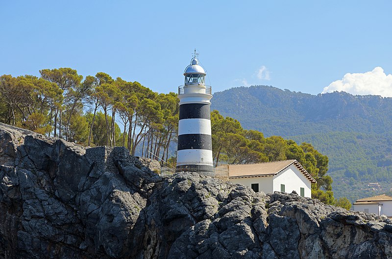
Nederlands: Port de Sóller (Majorca, Spanje): de vuurtoren van Sa Creu English: Port de Sóller (Majorca, Spain): Sa Creu lighthouse Français : Port de Sóller (Île de Majorque, Espagne) : le phare de Sa Creu |
| Date | |
| Source | Own work |
| Author | Marc Ryckaert (MJJR) |
| Camera location | | View this and other nearby images on: OpenStreetMap |
|---|
Licensing edit
I, the copyright holder of this work, hereby publish it under the following license:
This file is licensed under the Creative Commons Attribution 3.0 Unported license.
- You are free:
- to share – to copy, distribute and transmit the work
- to remix – to adapt the work
- Under the following conditions:
- attribution – You must give appropriate credit, provide a link to the license, and indicate if changes were made. You may do so in any reasonable manner, but not in any way that suggests the licensor endorses you or your use.
File history
Click on a date/time to view the file as it appeared at that time.
| Date/Time | Thumbnail | Dimensions | User | Comment | |
|---|---|---|---|---|---|
| current | 20:32, 26 September 2014 | | 4,876 × 3,228 (10.8 MB) | MJJR (talk | contribs) | Tilt corrected |
| 20:15, 26 September 2014 |  | 4,835 × 3,208 (11.93 MB) | MJJR (talk | contribs) | User created page with UploadWizard |
You cannot overwrite this file.
File usage on Commons
There are no pages that use this file.
File usage on other wikis
The following other wikis use this file:
- Usage on fr.wikipedia.org