File:Saint Lucia district of Gros Islet.svg

Size of this PNG preview of this SVG file: 215 × 402 pixels. Other resolutions: 128 × 240 pixels | 256 × 480 pixels | 411 × 768 pixels | 547 × 1,024 pixels | 1,095 × 2,048 pixels.
Original file (SVG file, nominally 215 × 402 pixels, file size: 133 KB)
Captions
Captions
Add a one-line explanation of what this file represents
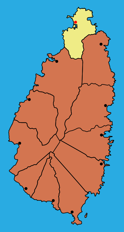
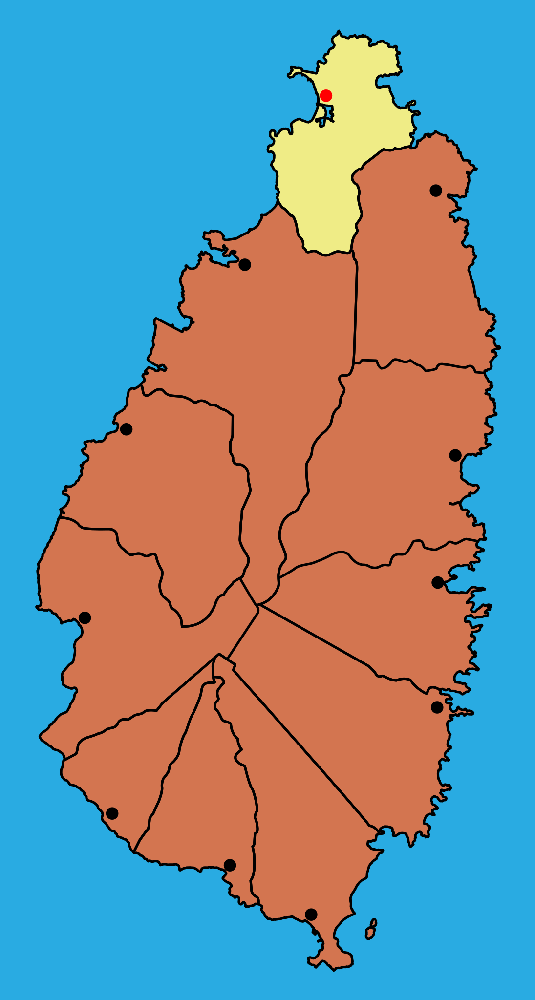
| Description | Map of the district Gros Islet in Saint Lucia |
| Date | |
| Source |
|
| Author | MorbZ |
| Other versions |
|

I, the copyright holder of this work, hereby publish it under the following license:
This file is licensed under the Creative Commons Attribution-Share Alike 2.5 Generic, 2.0 Generic and 1.0 Generic license.
- You are free:
- to share – to copy, distribute and transmit the work
- to remix – to adapt the work
- Under the following conditions:
- attribution – You must give appropriate credit, provide a link to the license, and indicate if changes were made. You may do so in any reasonable manner, but not in any way that suggests the licensor endorses you or your use.
- share alike – If you remix, transform, or build upon the material, you must distribute your contributions under the same or compatible license as the original.
File history
Click on a date/time to view the file as it appeared at that time.
| Date/Time | Thumbnail | Dimensions | User | Comment | |
|---|---|---|---|---|---|
| current | 14:05, 22 June 2009 | | 215 × 402 (133 KB) | MorbZ (talk | contribs) | less water, different lines |
| 00:03, 22 June 2009 |  | 295 × 427 (191 KB) | MorbZ (talk | contribs) | {{Information |Description=Map of the district Gros Islet in Saint Lucia |Source= *Border of the Island: [http://openstreetmap.org Openstreetmap] *Borders of Districts: File:Saint Lucia geography map en.png *Towns: [http://www.citypopulation.de/StLu |
You cannot overwrite this file.
File usage on Commons
The following 2 pages use this file:
File usage on other wikis
The following other wikis use this file:
- Usage on tr.wikipedia.org