File:Saltos del Petrohué - panoramio.jpg
Size of this preview: 800 × 238 pixels. Other resolutions: 320 × 95 pixels | 640 × 190 pixels | 1,024 × 305 pixels | 1,280 × 381 pixels | 6,337 × 1,886 pixels.
Original file (6,337 × 1,886 pixels, file size: 8.83 MB, MIME type: image/jpeg)
Captions
Captions
Add a one-line explanation of what this file represents
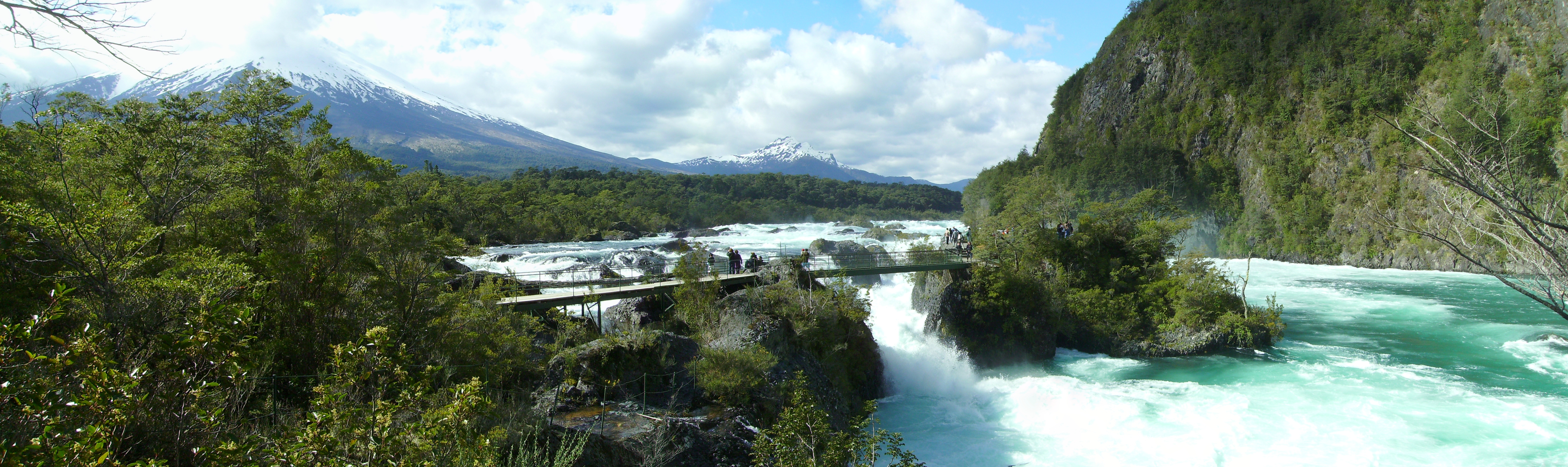
| Description | Saltos del Petrohué | ||
| Date | 27 September 2010 (original upload date) | ||
| Source | https://web.archive.org/web/20161111141842/http://www.panoramio.com/photo/41371281 | ||
| Author | littletroll | ||
| Permission (Reusing this file) |
This file is licensed under the Creative Commons Attribution-Share Alike 3.0 Unported license. Attribution: littletroll
|
||
| Tags (from Panoramio photo page) | Puerto Varas, Bosque Templado Lluvioso Valdiviano, Chile, Chili, Patagonia, Rainforest, Rio, River, selva pluvial, Selva Valdiviana, Trail, Valdivian Temperate Rainforest, река, тропа, 江, 瀑布, 熱帶雨林 |
| Camera location | | View this and other nearby images on: OpenStreetMap |
|---|
File history
Click on a date/time to view the file as it appeared at that time.
| Date/Time | Thumbnail | Dimensions | User | Comment | |
|---|---|---|---|---|---|
| current | 13:36, 11 November 2016 | 6,337 × 1,886 (8.83 MB) | Panoramio upload bot (talk | contribs) | {{Information |description=Saltos del Petrohué |date={{Original upload date|2010-09-27}} |source=http://www.panoramio.com/photo/41371281 |author=[http://www.panoramio.com/user/4432108?with_photo_id=41371281 littletroll] |permission={{cc-by-sa-3.0|litt... |
You cannot overwrite this file.
File usage on Commons
There are no pages that use this file.