File:Santa Rosa department location map.svg

Size of this PNG preview of this SVG file: 216 × 245 pixels. Other resolutions: 212 × 240 pixels | 423 × 480 pixels | 677 × 768 pixels | 903 × 1,024 pixels | 1,806 × 2,048 pixels.
Original file (SVG file, nominally 216 × 245 pixels, file size: 892 KB)
Captions
Captions
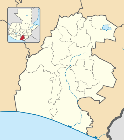
Location map of the Santa Rosa department, Guatemala.
Summary edit
| Description |
English: Location map of the Santa Rosa department, Guatemala.
Equirectangular projection, geographic limits of the map:
Español: Mapa de localización del departamento de Santa Rosa, Guatemala.
Proyección equirrectangular, límites geográficos del mapa:
|
| Date | |
| Source |
Own work based on: Guatemala location map.svg by Spischot.
|
| Author |
|
| SVG development | This map was created with Adobe Illustrator. |
Licensing edit
| This work contains information from OpenStreetMap, which is made available under the Open Database License (ODbL).
The ODbL does not require any particular license for maps produced from ODbL data. Prior to 1 August 2020, map tiles produced by the OpenStreetMap Foundation were licensed under the CC-BY-SA-2.0 license. Maps produced by other people may be subject to other licences. |
This file is licensed under the Creative Commons Attribution-Share Alike 3.0 Unported license.
- You are free:
- to share – to copy, distribute and transmit the work
- to remix – to adapt the work
- Under the following conditions:
- attribution – You must give appropriate credit, provide a link to the license, and indicate if changes were made. You may do so in any reasonable manner, but not in any way that suggests the licensor endorses you or your use.
- share alike – If you remix, transform, or build upon the material, you must distribute your contributions under the same or compatible license as the original.
File history
Click on a date/time to view the file as it appeared at that time.
| Date/Time | Thumbnail | Dimensions | User | Comment | |
|---|---|---|---|---|---|
| current | 03:53, 18 May 2019 | | 216 × 245 (892 KB) | Edgouno (talk | contribs) | User created page with UploadWizard |
You cannot overwrite this file.
File usage on Commons
There are no pages that use this file.
File usage on other wikis
The following other wikis use this file:
- Usage on en.wikipedia.org
- Usage on es.wikipedia.org
- Monterrico y Hawaii
- Chiquimulilla
- Cuilapa
- Santa Cruz Naranjo
- Taxisco
- Laguna de Ayarza
- Casillas (Santa Rosa)
- Laguna El Pino
- Guazacapán
- Oratorio (Guatemala)
- Volcán Tecuamburro
- Barberena
- Nueva Santa Rosa
- Santa Rosa de Lima (Santa Rosa)
- San Rafael las Flores
- San Juan Tecuaco
- Pueblo Nuevo Viñas
- Santa María Ixhuatán
- Plantilla:Mapa de localización de Santa Rosa
- Jumaytepeque
- Monterrico (Santa Rosa)
- Laguna de Ixpaco
- Usage on fr.wikipedia.org
- Usage on si.wikipedia.org
- Usage on uz.wikipedia.org