File:SapporoStraßenbahnNetzentwicklung.png

Size of this preview: 329 × 599 pixels. Other resolutions: 131 × 240 pixels | 263 × 480 pixels | 421 × 768 pixels | 562 × 1,024 pixels | 1,124 × 2,048 pixels | 2,879 × 5,246 pixels.
Original file (2,879 × 5,246 pixels, file size: 672 KB, MIME type: image/png)
Captions
Captions
Add a one-line explanation of what this file represents
Summary edit
| Description |
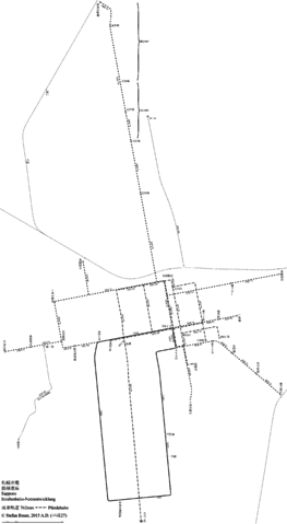
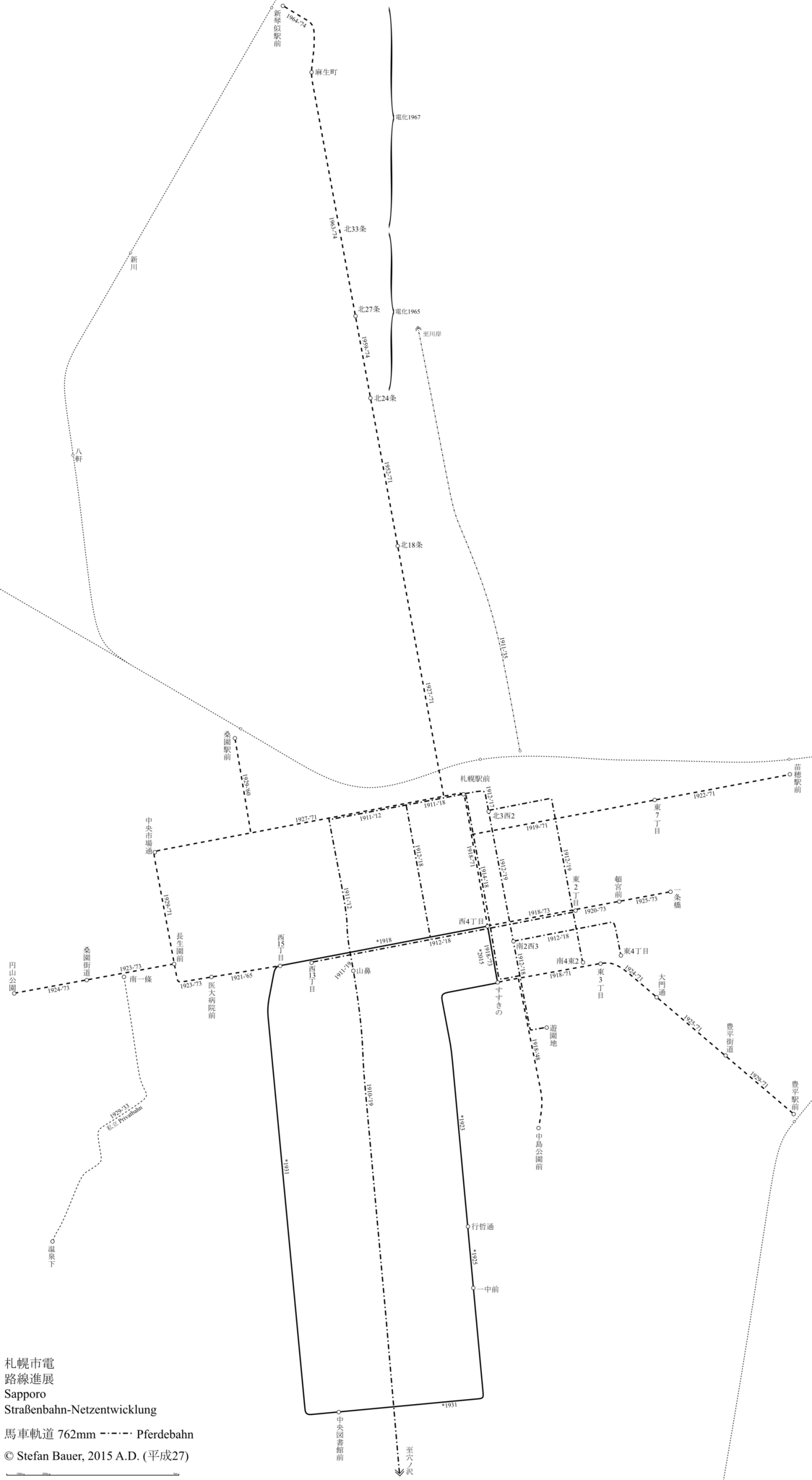
日本語: 札幌市電の路線進展図
Deutsch: Straßenbahn-Netzentwicklung Sapporo |
| Date | |
| Source | Own work |
| Author | Stef.muc |
| Permission (Reusing this file) |
This file is licensed under the Creative Commons Attribution-Share Alike 3.0 Germany license.
 |
馬車軌道についての情報は払底なので、間違いの場合にぜひお伝えください!
Licensing edit
I, the copyright holder of this work, hereby publish it under the following license:
This file is licensed under the Creative Commons Attribution-Share Alike 3.0 Unported license.
- You are free:
- to share – to copy, distribute and transmit the work
- to remix – to adapt the work
- Under the following conditions:
- attribution – You must give appropriate credit, provide a link to the license, and indicate if changes were made. You may do so in any reasonable manner, but not in any way that suggests the licensor endorses you or your use.
- share alike – If you remix, transform, or build upon the material, you must distribute your contributions under the same or compatible license as the original.
File history
Click on a date/time to view the file as it appeared at that time.
| Date/Time | Thumbnail | Dimensions | User | Comment | |
|---|---|---|---|---|---|
| current | 22:34, 7 December 2015 | | 2,879 × 5,246 (672 KB) | Stef.muc (talk | contribs) | 2015年12月のすすきの〜西4丁目間を再開業 |
| 20:13, 5 April 2015 |  | 2,879 × 5,246 (669 KB) | Stef.muc (talk | contribs) | 馬車軌道の訂正・私立電車線の補完 | |
| 22:33, 17 February 2015 |  | 2,879 × 5,246 (601 KB) | Stef.muc (talk | contribs) | 馬車軌道の補完 | |
| 19:53, 17 February 2015 |  | 2,879 × 5,246 (523 KB) | Stef.muc (talk | contribs) | {{Information |Description ={{ja|1=札幌市電の路線進展図}} {{de|1=Straßenbahn-Netzentwicklung Sapporo}} |Source ={{own}} |Author =Stef.muc |Date =2015-02-17 |Permission ={{Cc-by-sa-3.0-de}} |... |
You cannot overwrite this file.
File usage on Commons
The following 7 pages use this file:
- User:Chumwa/OgreBot/Public transport information/2015 April 1-10
- User:Chumwa/OgreBot/Public transport information/2015 December 1-10
- User:Chumwa/OgreBot/Public transport information/2015 February 10-18
- User:Chumwa/OgreBot/Transport Maps/2015 April 1-10
- User:Chumwa/OgreBot/Transport Maps/2015 December 1-10
- User:Chumwa/OgreBot/Transport Maps/2015 February 10-18
- User:Liesel/Rail transport/2015 February 10-18
File usage on other wikis
The following other wikis use this file:
- Usage on de.wikipedia.org