File:Savai'i OnEarth WMS.png

Size of this preview: 800 × 478 pixels. Other resolutions: 320 × 191 pixels | 640 × 382 pixels | 1,024 × 612 pixels | 1,280 × 765 pixels | 2,521 × 1,506 pixels.
Original file (2,521 × 1,506 pixels, file size: 3.99 MB, MIME type: image/png)
Captions
Captions
Add a one-line explanation of what this file represents
Summary edit
| Description |
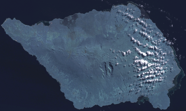
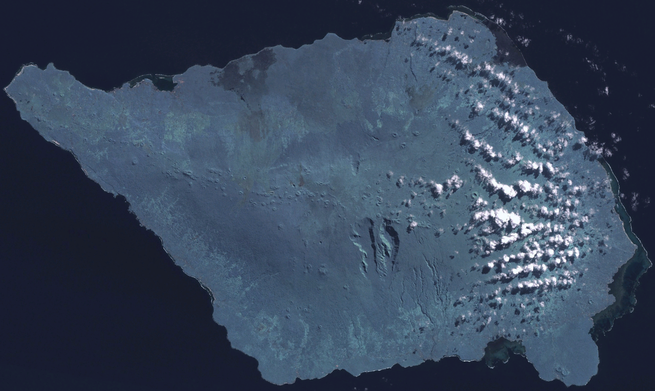
English: Satellite image of Savai'i. |
| Date | 10 January 2007 (upload date) |
| Source |
Screen capture from NASA World Wind, OnEarth WMS global mosaic visual colour layer. Coordinates: worldwind://goto/world=Earth&lat=-13.62162&lon=-172.48322&alt=63902 |
| Author | NASA |
Licensing edit
| This image is in the public domain because it is a screenshot from NASA’s globe software World Wind using a public domain layer, such as Blue Marble, MODIS, Landsat, SRTM, USGS or GLOBE.
|
 |
File history
Click on a date/time to view the file as it appeared at that time.
| Date/Time | Thumbnail | Dimensions | User | Comment | |
|---|---|---|---|---|---|
| current | 03:03, 10 January 2007 | | 2,521 × 1,506 (3.99 MB) | Hautala (talk | contribs) | Satellite image of Savai'i. Screen capture from NASA World Wind, OnEarth WMS global mosaic visual colour layer. Coordinates: worldwind://goto/world=Earth&lat=-13.62162&lon=-172.48322&alt=63902 Category:Samoa |
You cannot overwrite this file.
File usage on Commons
The following page uses this file:
File usage on other wikis
The following other wikis use this file:
- Usage on ar.wikipedia.org
- Usage on arz.wikipedia.org
- Usage on ast.wikipedia.org
- Usage on ceb.wikipedia.org
- Usage on en.wikivoyage.org
- Usage on es.wikipedia.org
- Usage on fr.wikipedia.org
- Usage on fr.wikivoyage.org
- Usage on he.wikivoyage.org
- Usage on sk.wikipedia.org
- Usage on sv.wikipedia.org
- Usage on uk.wikipedia.org
- Usage on ur.wikipedia.org
- Usage on www.wikidata.org