File:Schranne Gedenktafel.jpg
Size of this preview: 800 × 600 pixels. Other resolutions: 320 × 240 pixels | 640 × 480 pixels | 1,024 × 768 pixels | 1,280 × 960 pixels | 2,048 × 1,536 pixels.
Original file (2,048 × 1,536 pixels, file size: 1.52 MB, MIME type: image/jpeg)
Captions
Captions
Add a one-line explanation of what this file represents
Summary edit
| Description |
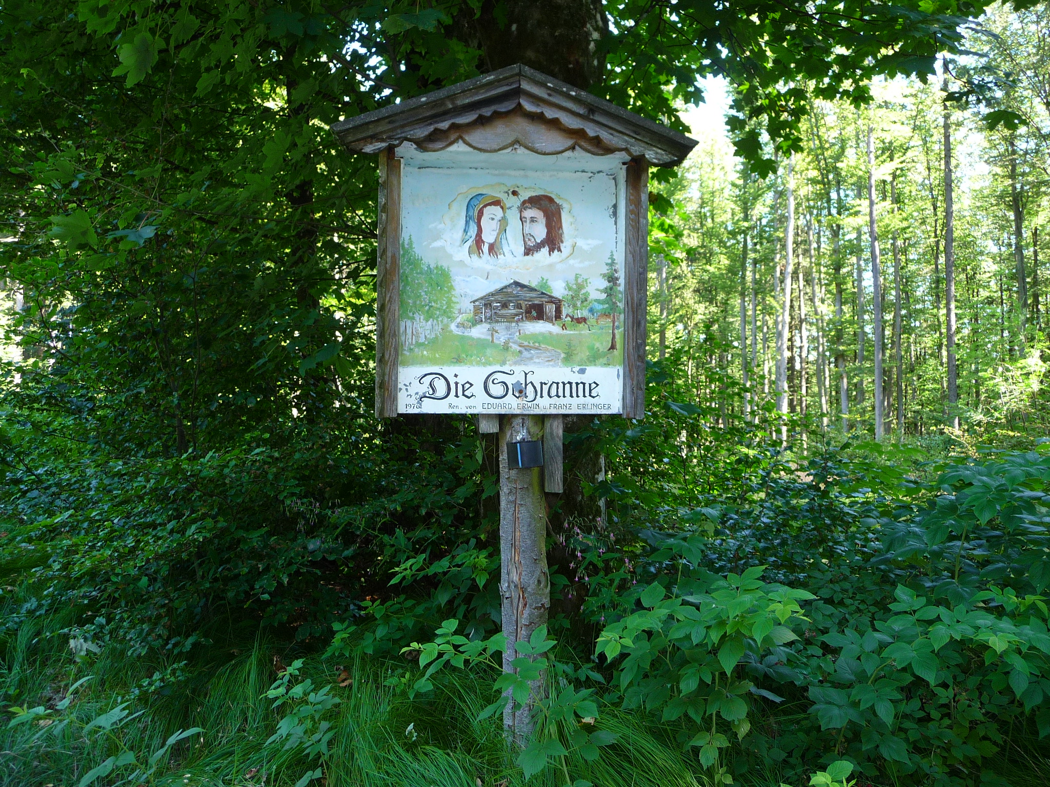
Deutsch: Die Schranne ist ein 727 m ü. A. hoher Berg im Hausruck-und-Kobernaußerwald-Zug zwischen Innviertel und Traunviertel in Oberösterreich.Der Name steht wohl zu Schranne, einem Gerichts-, dann Marktplatz. Hier verlief bis 1787 die alte bairisch–österreichische Grenze (die heutigen Gemeindegrenzen und hier auch Bezirksgrenze Ried zu Vöcklabruck zeigen noch den alten Grenzverlauf). Das Mattigtal war ebenfalls bairisch, und das Schwemmbachtal gehörte zum Gerichtsbezirk Friedburg, und zwar zum Forstgericht Hehnhart (wie der Kobernaußerwald früher genannt wurde). |
| Date | |
| Source | Own work |
| Author | Vinophile |
Licensing edit
I, the copyright holder of this work, hereby publish it under the following license:
This file is licensed under the Creative Commons Attribution-Share Alike 4.0 International license.
- You are free:
- to share – to copy, distribute and transmit the work
- to remix – to adapt the work
- Under the following conditions:
- attribution – You must give appropriate credit, provide a link to the license, and indicate if changes were made. You may do so in any reasonable manner, but not in any way that suggests the licensor endorses you or your use.
- share alike – If you remix, transform, or build upon the material, you must distribute your contributions under the same or compatible license as the original.
File history
Click on a date/time to view the file as it appeared at that time.
| Date/Time | Thumbnail | Dimensions | User | Comment | |
|---|---|---|---|---|---|
| current | 12:24, 9 May 2015 | | 2,048 × 1,536 (1.52 MB) | Vinophile (talk | contribs) | User created page with UploadWizard |
You cannot overwrite this file.
File usage on Commons
There are no pages that use this file.