File:Schwarzkopftunnel.png

Size of this preview: 701 × 599 pixels. Other resolutions: 281 × 240 pixels | 562 × 480 pixels | 898 × 768 pixels | 1,179 × 1,008 pixels.
Original file (1,179 × 1,008 pixels, file size: 250 KB, MIME type: image/png)
Captions
Captions
Add a one-line explanation of what this file represents
| Description |
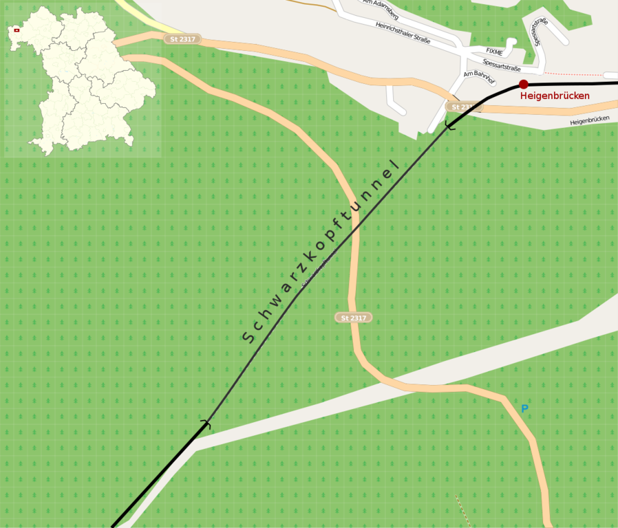
English: Map of the Schwarzkopftunnel near Heigenbrücken, Bavaria, Germany
|
| Date | |
| Source | Own work, using OpenStreetMap data |
| Author |
Graphic made by Carport |
| Permission (Reusing this file) |
This map was created from OpenStreetMap project data, collected by the community. All OpenStreetMap data and maps are Creative Commons "CC-BY-SA 2.0" licensed This file is licensed under the Creative Commons Attribution-Share Alike 2.0 Generic license.
|
File history
Click on a date/time to view the file as it appeared at that time.
| Date/Time | Thumbnail | Dimensions | User | Comment | |
|---|---|---|---|---|---|
| current | 06:34, 24 October 2009 | | 1,179 × 1,008 (250 KB) | Carport (talk | contribs) | {{Information |Description={{en|1=Map of the Schwarzkopftunnel near Heigenbrücken, Bavaria, Germany}} {{de|1=Lage des Schwarzkopftunnels in der Nähe von Heigenbrücken, Bayern}} |So |
You cannot overwrite this file.
File usage on Commons
There are no pages that use this file.
File usage on other wikis
The following other wikis use this file:
- Usage on de.wikipedia.org