File:Seropedica map.svg

Size of this PNG preview of this SVG file: 423 × 599 pixels. Other resolutions: 169 × 240 pixels | 339 × 480 pixels | 542 × 768 pixels | 723 × 1,024 pixels | 1,446 × 2,048 pixels | 793 × 1,123 pixels.
Original file (SVG file, nominally 793 × 1,123 pixels, file size: 59 KB)
Captions
Captions
Add a one-line explanation of what this file represents
Summary edit
| Description |
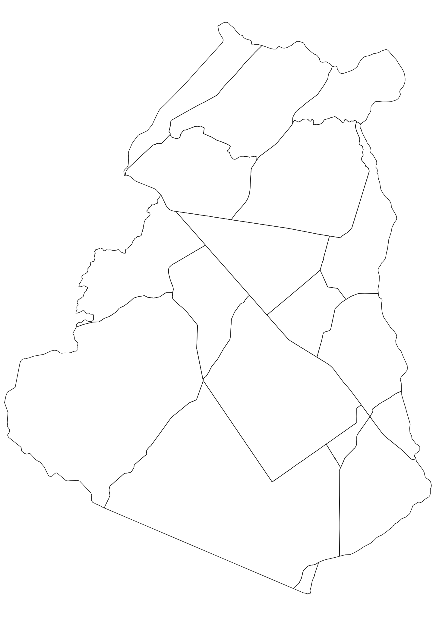
English: Seropedica's political map.
Português: Mapa político da cidade de Seropédica. |
| Date | |
| Source | Own work |
| Author | Guilherme B Alves |
Licensing edit
I, the copyright holder of this work, hereby publish it under the following license:
This file is licensed under the Creative Commons Attribution 3.0 Unported license.
- You are free:
- to share – to copy, distribute and transmit the work
- to remix – to adapt the work
- Under the following conditions:
- attribution – You must give appropriate credit, provide a link to the license, and indicate if changes were made. You may do so in any reasonable manner, but not in any way that suggests the licensor endorses you or your use.
File history
Click on a date/time to view the file as it appeared at that time.
| Date/Time | Thumbnail | Dimensions | User | Comment | |
|---|---|---|---|---|---|
| current | 21:44, 5 April 2019 | | 793 × 1,123 (59 KB) | Guilherme B Alves (talk | contribs) | Refinamento dos limites, com base em dados do IBGE. |
| 14:24, 29 January 2011 |  | 538 × 742 (36 KB) | Guilherme B Alves (talk | contribs) | Corte das bordas sobressalentes. | |
| 14:09, 29 January 2011 |  | 744 × 1,052 (36 KB) | Guilherme B Alves (talk | contribs) | {{Information |Description ={{en|1=Seropedica's political map.}} {{pt|1=Mapa político da cidade de Seropédica.}} |Source ={{own}} |Author =Guilherme B Alves |Date =29/01/2011 |Permission = |oth |
You cannot overwrite this file.
File usage on Commons
There are no pages that use this file.
File usage on other wikis
The following other wikis use this file:
- Usage on pt.wikipedia.org