File:Sharm el Sheikh map OSM.png

Size of this preview: 703 × 600 pixels. Other resolutions: 281 × 240 pixels | 563 × 480 pixels | 900 × 768 pixels | 1,201 × 1,024 pixels | 1,673 × 1,427 pixels.
Original file (1,673 × 1,427 pixels, file size: 234 KB, MIME type: image/png)
Captions
Captions
Add a one-line explanation of what this file represents
| Description |
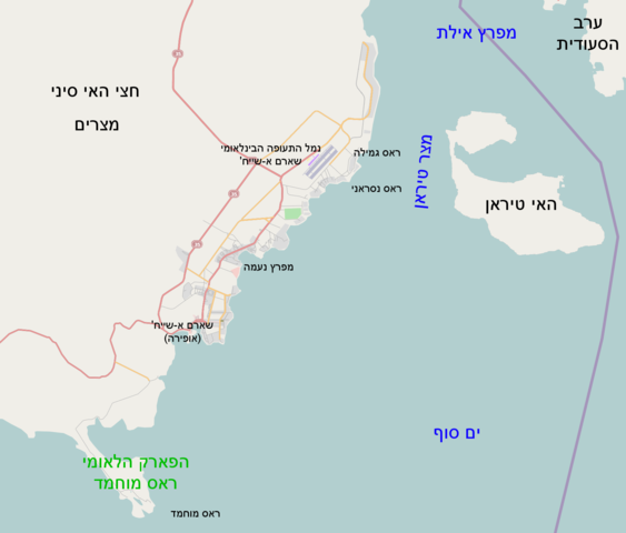
English: South sinai map |
| Date | |
| Source | Own work after Open Street Map site |
| Author | Ori~ |
| Permission (Reusing this file) |
This file is licensed under the Creative Commons Attribution-Share Alike 2.0 Generic license.
|

|
This map image could be re-created using vector graphics as an SVG file. This has several advantages; see Commons:Media for cleanup for more information. If an SVG form of this image is available, please upload it and afterwards replace this template with
{{vector version available|new image name}}.
It is recommended to name the SVG file “Sharm el Sheikh map OSM.svg”—then the template Vector version available (or Vva) does not need the new image name parameter. |
File history
Click on a date/time to view the file as it appeared at that time.
| Date/Time | Thumbnail | Dimensions | User | Comment | |
|---|---|---|---|---|---|
| current | 09:49, 13 January 2010 | | 1,673 × 1,427 (234 KB) | Ori~ (talk | contribs) | {{Information |Description=South sinai map |Source={{own}} after Open Street Map site |Date=2009-12-23 |Author= Ori~ |Permission={{cc-by-sa-2.0}} |other_versions= }} Category:Maps of the Sinai Peninsula Category:Maps of Egypt [[Cat |
You cannot overwrite this file.
File usage on Commons
There are no pages that use this file.
File usage on other wikis
The following other wikis use this file: