File:Shaul HaMelech Blvd map.png
No higher resolution available.
Shaul_HaMelech_Blvd_map.png (581 × 391 pixels, file size: 305 KB, MIME type: image/png)
Captions
Captions
Add a one-line explanation of what this file represents
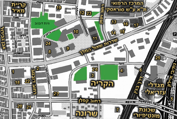
| Description | Screen grab of a central section of Tel Aviv | ||
| Date | |||
| Source | MapQuest Open | ||
| Author | MapQuest Open | ||
| Permission (Reusing this file) |
|
File history
Click on a date/time to view the file as it appeared at that time.
| Date/Time | Thumbnail | Dimensions | User | Comment | |
|---|---|---|---|---|---|
| current | 03:03, 3 May 2023 | | 581 × 391 (305 KB) | דוד שי (talk | contribs) | move 27 to the left |
| 18:37, 23 April 2023 |  | 581 × 391 (287 KB) | דג קטן (talk | contribs) | הוספת מגדלי דה וינצ'י - 27 | |
| 19:31, 23 October 2022 |  | 581 × 391 (312 KB) | דג קטן (talk | contribs) | Reverted to version as of 19:23, 23 October 2022 (UTC) | |
| 19:30, 23 October 2022 |  | 581 × 391 (312 KB) | דג קטן (talk | contribs) | Reverted to version as of 09:44, 3 February 2013 (UTC) | |
| 19:23, 23 October 2022 |  | 581 × 391 (312 KB) | דג קטן (talk | contribs) | הוספת 26 | |
| 09:44, 3 February 2013 |  | 581 × 391 (312 KB) | Ori~ (talk | contribs) | ג | |
| 09:41, 3 February 2013 |  | 581 × 391 (312 KB) | Ori~ (talk | contribs) | תיקונים קטנים | |
| 09:24, 3 February 2013 |  | 581 × 391 (275 KB) | Itzuvit (talk | contribs) | + | |
| 08:40, 3 February 2013 |  | 581 × 391 (290 KB) | TVJunkie (talk | contribs) | final map + added new marking | |
| 08:39, 3 February 2013 |  | 581 × 391 (284 KB) | TVJunkie (talk | contribs) | final map with changes |
You cannot overwrite this file.
File usage on Commons
The following 10 pages use this file:
- User:Chumwa/OgreBot/Transport Maps/2022 October 21-31
- User:Chumwa/OgreBot/Transport Maps/2023 April 21-30
- User:Chumwa/OgreBot/Transport Maps/2023 May 1-10
- User:Chumwa/OgreBot/Travel and communication maps/2022 October 21-31
- User:Chumwa/OgreBot/Travel and communication maps/2023 April 21-30
- User:Chumwa/OgreBot/Travel and communication maps/2023 May 1-10
- User:Geagea/IDF/2022 October 23
- User:Geagea/IDF/2023 April 23
- User:Geagea/IDF/2023 May 3
- File:TA Map screen grab.png (file redirect)
File usage on other wikis
The following other wikis use this file:
- Usage on de.wikipedia.org
- Usage on he.wikipedia.org
- בית הסופר
- ספריית בית אריאלה
- בית ציוני אמריקה
- הקריה
- מחנה רבין
- התיאטרון הקאמרי
- מגדל המוזיאון
- מגדל היובל
- רחוב אבן גבירול
- תחנת הרכבת תל אביב – השלום
- בית שלום עליכם
- רחוב קפלן
- המרכז הרפואי תל אביב ע"ש סוראסקי
- בית אסיה
- שרונה (מושבה)
- פורטל:תל אביב-יפו
- מגדל אמות השקעות
- שדרות שאול המלך
- לונדון מיניסטורס
- פורטל:תל אביב-יפו/אזורים ומוקדים מרכזיים
- שכונת מונטיפיורי
- קריית מאיר
- המשכן לאמנויות הבמה (תל אביב)
- גשר עזריאלי
- מגדלי עזריאלי
- מגדל מרגנית
- מגדל המטכ"ל
- היכל המשפט תל אביב
- מגדל דניאל פריש
- בית הדר דפנה
- מכון תל אביב לחזנות
- בית אמות משפט
- בית העיתונאים על שם סוקולוב
- ויקיפדיה:סדנה לגרפיקה/ארכיון 27
- תבנית:שדרות שאול המלך
- שיחת קובץ:Shaul HaMelech Blvd map.png
- ויקיפדיה:מזנון/ארכיון 312
- שיחת משתמשת:Itzuvit/ארכיון19
- בית וילהלם אברלה
- תחנת שאול המלך
- מחלף קפלן
- מגדלי דה וינצ'י