File:Shipilovka map 1749.png

Size of this preview: 627 × 600 pixels. Other resolutions: 251 × 240 pixels | 502 × 480 pixels | 739 × 707 pixels.
Original file (739 × 707 pixels, file size: 428 KB, MIME type: image/png)
Captions
Captions
Add a one-line explanation of what this file represents
Summary edit
| Description |
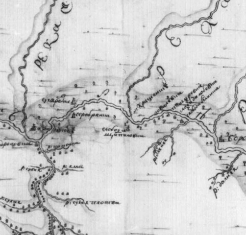
Русский: Шипиловка на «Достоверной ландкарте между рек Днепра и Донца» 1749 года |
| Date | |
| Source | Map of Russian Empire - Landkart of Dnieper & Donets rivers, 1749 |
| Author | Unknown author |
Licensing edit
|
This work is in the public domain in its country of origin and other countries and areas where the copyright term is the author's life plus 100 years or fewer. | |
| This file has been identified as being free of known restrictions under copyright law, including all related and neighboring rights. | |
File history
Click on a date/time to view the file as it appeared at that time.
| Date/Time | Thumbnail | Dimensions | User | Comment | |
|---|---|---|---|---|---|
| current | 11:16, 20 December 2013 | | 739 × 707 (428 KB) | Arlot (talk | contribs) | User created page with UploadWizard |
You cannot overwrite this file.
File usage on Commons
There are no pages that use this file.
File usage on other wikis
The following other wikis use this file:
- Usage on ru.wikipedia.org