File:Silver Cliff, Colorado.JPG

Size of this preview: 800 × 543 pixels. Other resolutions: 320 × 217 pixels | 640 × 434 pixels | 1,024 × 695 pixels | 1,280 × 869 pixels | 2,560 × 1,738 pixels | 5,130 × 3,482 pixels.
Original file (5,130 × 3,482 pixels, file size: 8.3 MB, MIME type: image/jpeg)
Captions
Captions
Add a one-line explanation of what this file represents
Summary edit
| Description |
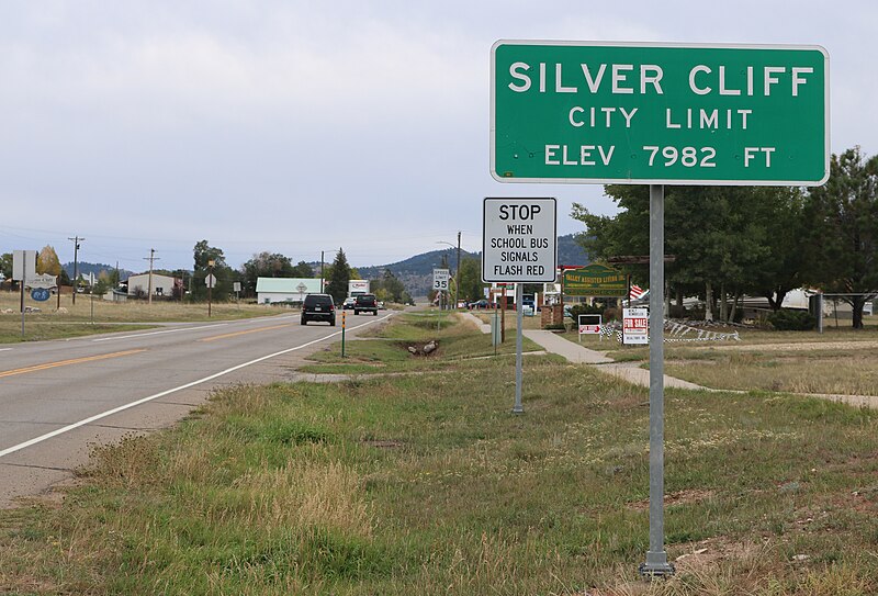
English: The city limits sign for Silver Cliff, Colorado. It's located along Main Street (Colorado State Highway 96) at the Silver Cliff / Westcliffe border. The view is to the east. |
| Date | |
| Source | Own work |
| Author | Jeffrey Beall |
| Object location | | View this and other nearby images on: OpenStreetMap |
|---|
Licensing edit
I, the copyright holder of this work, hereby publish it under the following license:
This file is licensed under the Creative Commons Attribution 4.0 International license.
- You are free:
- to share – to copy, distribute and transmit the work
- to remix – to adapt the work
- Under the following conditions:
- attribution – You must give appropriate credit, provide a link to the license, and indicate if changes were made. You may do so in any reasonable manner, but not in any way that suggests the licensor endorses you or your use.
File history
Click on a date/time to view the file as it appeared at that time.
| Date/Time | Thumbnail | Dimensions | User | Comment | |
|---|---|---|---|---|---|
| current | 12:28, 23 September 2018 | | 5,130 × 3,482 (8.3 MB) | Jeffrey Beall (talk | contribs) | {{Information |description ={{en|1=The city limits sign for Silver Cliff, Colorado. It's located along Main Street (Colorado State Highway 96) at the Silver Cliff / Westcliffe border. The view is to the east. }} |date =2018-09-20 |source ={{own}} |author =Jeffrey Beall }} {{Object location|38|8|8.73|N|105|27|30.08|W}} Category:City signs in Colorado Category:Silver Cliff, Colorado Category:Main Streets in Colorado [[Category:Colorado... |
You cannot overwrite this file.
File usage on Commons
There are no pages that use this file.
File usage on other wikis
The following other wikis use this file:
- Usage on nv.wikipedia.org