File:Sint Maarten location map.svg

Size of this PNG preview of this SVG file: 800 × 578 pixels. Other resolutions: 320 × 231 pixels | 640 × 462 pixels | 1,024 × 740 pixels | 1,280 × 925 pixels | 2,560 × 1,850 pixels | 1,175 × 849 pixels.
Original file (SVG file, nominally 1,175 × 849 pixels, file size: 145 KB)
Captions
Captions
Add a one-line explanation of what this file represents
Summary
edit| Camera location | | View this and other nearby images on: OpenStreetMap |
|---|
| Description |
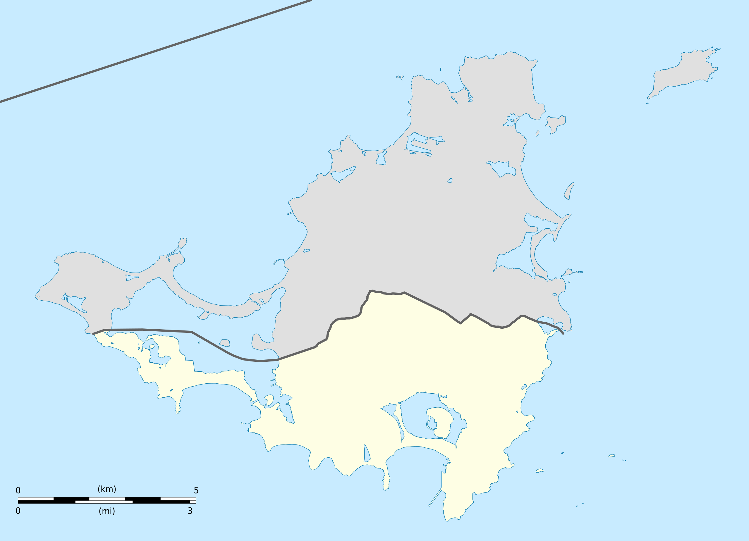
English: Blank administrative map of Sint Maarten, constituent country of the Kingdom of the Netherlands, for geo-location purpose.
Français : Carte administrative vierge de Sint Maarten, État du Royaume des Pays-Bas, destinée à la géolocalisation. Estimated scale: 1:200,000 (precision: 50 m)
Geographic limits of the map:
|
||
| Date | |||
| Source |
Own work
|
||
| Author | Eric Gaba (Sting - fr:Sting) | ||
| Permission (Reusing this file) |
|
||
| Other versions |
|
||
| SVG development |


Licensing
edit
Eric Gaba, Wikimedia Commons user Sting, the copyright holder of this work, hereby publishes it under the following licenses:
This file is licensed under the Creative Commons Attribution-Share Alike 3.0 Unported license.
Attribution: Eric Gaba, Wikimedia Commons user Sting
- You are free:
- to share – to copy, distribute and transmit the work
- to remix – to adapt the work
- Under the following conditions:
- attribution – You must give appropriate credit, provide a link to the license, and indicate if changes were made. You may do so in any reasonable manner, but not in any way that suggests the licensor endorses you or your use.
- share alike – If you remix, transform, or build upon the material, you must distribute your contributions under the same or compatible license as the original.

|
Permission is granted to copy, distribute and/or modify this document under the terms of the GNU Free Documentation License, Version 1.2 or any later version published by the Free Software Foundation; with no Invariant Sections, no Front-Cover Texts, and no Back-Cover Texts. A copy of the license is included in the section entitled GNU Free Documentation License. |
You may select the license of your choice.
File history
Click on a date/time to view the file as it appeared at that time.
| Date/Time | Thumbnail | Dimensions | User | Comment | |
|---|---|---|---|---|---|
| current | 16:41, 25 October 2010 | | 1,175 × 849 (145 KB) | Sting (talk | contribs) | == {{int:filedesc}} == {{Location|18|04|07|N|63|03|45|W|scale:100000}} <br/> {{Information |Description={{en|Blank administrative map of Sint Maarten, constituent country of the [[:en:Kingdom of the Netherl |
You cannot overwrite this file.
File usage on Commons
The following 6 pages use this file:
File usage on other wikis
The following other wikis use this file:
- Usage on af.wikipedia.org
- Usage on an.wikipedia.org
- Usage on ar.wikipedia.org
- Usage on ast.wikipedia.org
- Usage on ba.wikipedia.org
- Usage on bg.wikipedia.org
- Usage on bn.wikipedia.org
- Usage on ceb.wikipedia.org
- Plantilya:Location map Sint Maarten
- Great Bay
- Guano Cay
- Guana Cay
- Great Salt Pond
- Beacon Hill
- Fort Hill
- Cul de Sac
- Mona Island
- Grande Bay
- Simpson Bay
- Cow and Calf
- Williams Hill
- Trial Hill
- Grande Baie
- Hen and Chicks
- Pond Island
- Ravine Rouge
- Simson Baai Lagoen
- Simson
- Pelikan
- Philipsburg
- Little Key
- Point Blanche
- Williams Hill (bungtod sa Sint Maarten)
- Trial Hill (bungtod sa Sint Maarten)
- The Devils Cupper
- Simson Bay Village
- Simpson Bay (luuk sa Sint Maarten)
- Sentry Hill (bukid sa Sint Maarten)
- Sint Peter Hill
- Saint Barthélemy Channel
- Kanaal van Rolandus
- Princess Juliana International Airport
- Philipsburg (ulohang dakbayan)
- Pelikaan Punt
- Naked Boy
- Mona Island (pulo sa Sint Maarten)
- Molly Beday
- Lower Prince's Quarter
View more global usage of this file.