File:South China Sea location map.svg

Original file (SVG file, nominally 1,134 × 1,229 pixels, file size: 617 KB)
Captions
Captions
Summary
edit| Description |
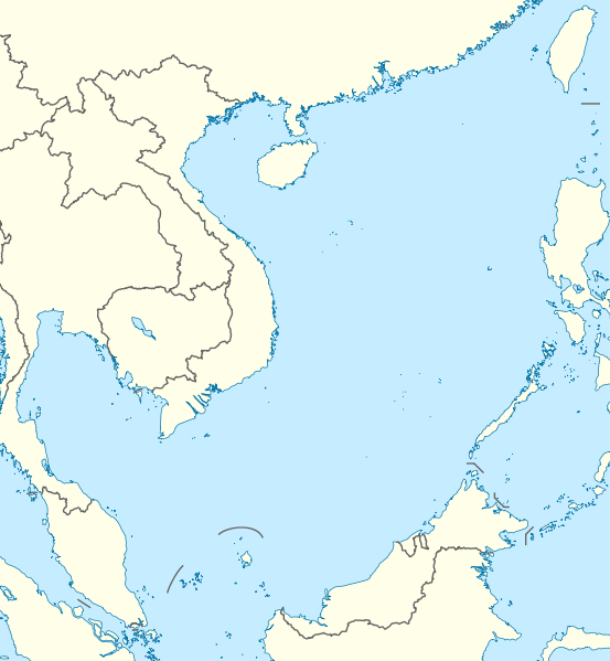
Deutsch: Positionskarte des Südchinesischen Meers
Quadratische Plattkarte, N-S-Streckung 102 %. Geographische Begrenzung der Karte:
English: Location map of the South China Sea
Equirectangular projection, N/S stretching 102 %. Geographic limits of the map:
|
|
| Date | ||
| Source | own work, using World Data Base II data | |
| Author | NordNordWest | |
| Permission (Reusing this file) |
This file is licensed under the Creative Commons Attribution-Share Alike 3.0 Germany license.
 This file is licensed under the Creative Commons Attribution-Share Alike 3.0 Unported license.
|


|
This map has been made or improved in the German Kartenwerkstatt (Map Lab). You can propose maps to improve as well.
|
File history
Click on a date/time to view the file as it appeared at that time.
| Date/Time | Thumbnail | Dimensions | User | Comment | |
|---|---|---|---|---|---|
| current | 18:56, 17 August 2011 | | 1,134 × 1,229 (617 KB) | NordNordWest (talk | contribs) | == {{int:filedesc}} == {{Information |Description= {{de|Positionskarte des Südchinesischen Meers}} Quadratische Plattkarte, N-S-Streckung 102 %. Geographische Begrenzung der Karte: * N: 25.5° N * S: 0° N * W: 98.5° O * O: |
You cannot overwrite this file.
File usage on Commons
The following 6 pages use this file:
File usage on other wikis
The following other wikis use this file:
- Usage on an.wikipedia.org
- Usage on ar.wikipedia.org
- Usage on az.wikipedia.org
- Usage on ban.wikipedia.org
- Usage on bcl.wikipedia.org
- Usage on be.wikipedia.org
- Usage on bn.wikipedia.org
- Usage on ceb.wikipedia.org
- Usage on de.wikipedia.org
- Usage on en.wikipedia.org
- Kaohsiung
- Paracel Islands
- Spratly Islands
- Hainan
- Weizhou Island
- Pratas Island
- Natuna Regency
- Perhentian Islands
- Woody Island (South China Sea)
- Batam
- Third Taiwan Strait Crisis
- Anambas Islands Regency
- Taiping Island
- Redang Island
- Lang Tengah Island
- Scarborough Shoal
- Kapas Island
- Kalayaan, Palawan
- Trường Sa (township)
- Tenggol Island
- Thitu Island
- Bidong Island
- List of temples of the Church of Jesus Christ of Latter-day Saints by geographic region
- List of airports in Taiwan
- Tree Island, South China Sea
- Rocky Island, South China Sea
- Triton Island
- Bombay Reef
- Natuna Besar
- Sansha
- 1967 USS Forrestal fire
- Spratly Island
View more global usage of this file.