File:South East England wards 2011 map.svg

Size of this PNG preview of this SVG file: 749 × 600 pixels. Other resolutions: 300 × 240 pixels | 600 × 480 pixels | 959 × 768 pixels | 1,279 × 1,024 pixels | 2,558 × 2,048 pixels | 1,425 × 1,141 pixels.
Original file (SVG file, nominally 1,425 × 1,141 pixels, file size: 6.38 MB)
Captions
Captions
Add a one-line explanation of what this file represents
| Description |
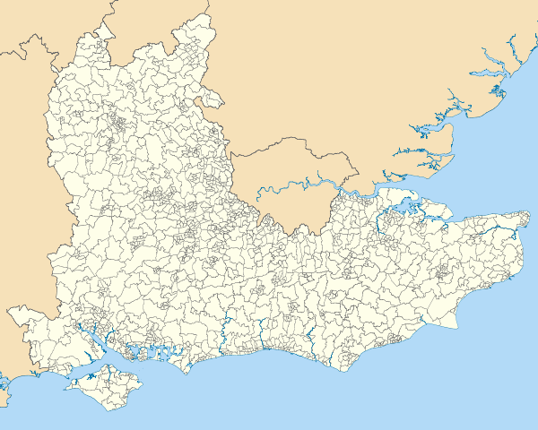
Map of the South East England region showing the electoral wards in 2011. Equirectangular map projection on WGS 84 datum, with N/S stretched 160% Geographic limits:
|
| Date | |
| Source |
|
| Author | Nilfanion, created using Ordnance Survey data |
| Permission (Reusing this file) |
This file is licensed under the Creative Commons Attribution-Share Alike 3.0 Unported license. Attribution: Contains Ordnance Survey data © Crown copyright and database right
|
| Other versions | Derivative works of this file: South East England wards 2011 map coloured.svg |
File history
Click on a date/time to view the file as it appeared at that time.
| Date/Time | Thumbnail | Dimensions | User | Comment | |
|---|---|---|---|---|---|
| current | 19:41, 1 April 2012 | | 1,425 × 1,141 (6.38 MB) | Nilfanion (talk | contribs) | {{Information |Description=Map of the South East England region showing the electoral wards in 2011. Equirectangular map projection on WGS 84 datum, with N/S stretched 160% Geographic limits: *West: 2.0W *East: 1.5E *North: 5... |
You cannot overwrite this file.
File usage on Commons
The following page uses this file: