File:Southbound Interstate 71 and 75 at Kyles Lane - Mapillary (WnqBrmNNaJrQ2AB9bzi47w).jpg
Size of this preview: 800 × 363 pixels. Other resolutions: 320 × 145 pixels | 640 × 290 pixels | 1,024 × 464 pixels | 1,994 × 904 pixels.
Original file (1,994 × 904 pixels, file size: 195 KB, MIME type: image/jpeg)
Captions
Captions
Add a one-line explanation of what this file represents
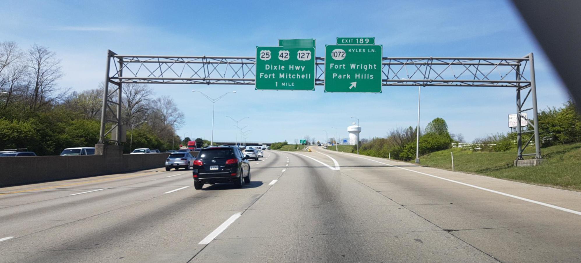
| Description | Southbound Interstate 71 and 75 at the Kyles Lane exit in Fort Wright, Kentucky, United States. | ||
| Date | |||
| Source |
|
||
| Author | roadroid @ Mapillary.com | ||
| Permission (Reusing this file) |
This file is licensed under the Creative Commons Attribution-Share Alike 4.0 International license.
|
| Camera location | | View this and other nearby images on: OpenStreetMap |
|---|
.jpg¶ms=039.060726_N_-084.532563_E_globe:Earth_type:camera_heading:256.59&language=en)
File history
Click on a date/time to view the file as it appeared at that time.
| Date/Time | Thumbnail | Dimensions | User | Comment | |
|---|---|---|---|---|---|
| current | 23:53, 2 May 2018 | | 1,994 × 904 (195 KB) | Acabashi (talk | contribs) | Cropped 3 % horizontally, 22 % vertically, rotated -2.5° using CropTool with precise mode. Remove watermark. Rotate. |
| 02:53, 17 October 2017 |  | 2,048 × 1,152 (254 KB) | Mxn (talk | contribs) | Transferred from https://d1cuyjsrcm0gby.cloudfront.net/WnqBrmNNaJrQ2AB9bzi47w/thumb-2048.jpg |
You cannot overwrite this file.
File usage on Commons
The following page uses this file:
File usage on other wikis
The following other wikis use this file:
- Usage on sr.wikipedia.org
.jpg&oldid=683837577)