File:Spain location map with provinces.svg

Size of this PNG preview of this SVG file: 699 × 600 pixels. Other resolutions: 280 × 240 pixels | 559 × 480 pixels | 895 × 768 pixels | 1,193 × 1,024 pixels | 2,387 × 2,048 pixels | 1,184 × 1,016 pixels.
Original file (SVG file, nominally 1,184 × 1,016 pixels, file size: 3.01 MB)
Captions
Captions
Add a one-line explanation of what this file represents
Summary edit
| Description |
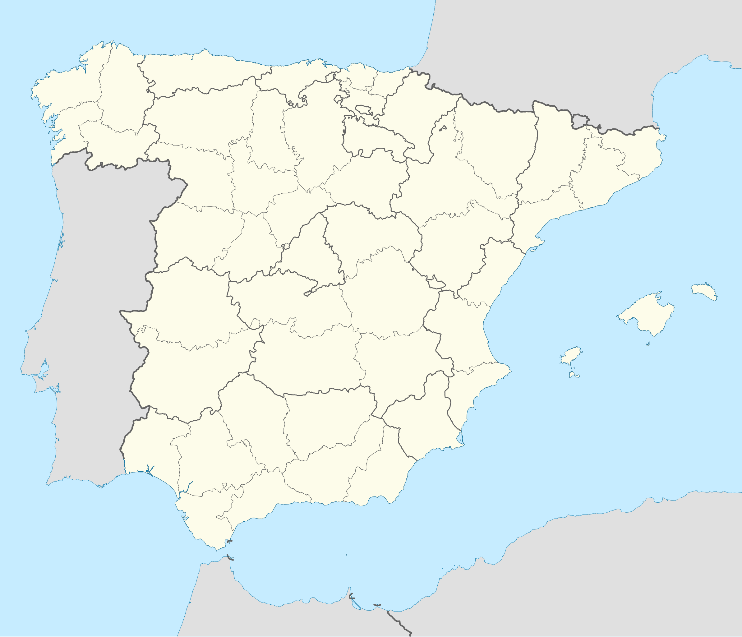
English: Location map of Spain
Equirectangular projection, N/S stretching 130 %. Geographic limits of the map:
Deutsch: Positionskarte von Spanien
Quadratische Plattkarte, N-S-Streckung 130 %. Geographische Begrenzung der Karte:
|
| Date | |
| Source |
Own work based on: ✦  Spain location map.svg by NNW Spain location map.svg by NNW✦  A Coruna in Spain.svg by TUBS A Coruna in Spain.svg by TUBS |
| Author | Roi González Villa (Vivaelcelta) |
| Other versions | Derivative works of this file: Spain location map.svg |
| SVG development | This W3C-invalid locator map was created with Adobe Illustrator by NordNordWest, and with Inkscape. This Adobe SVG locator map is very large because NordNordWest kept the superfluous Adobe PGF or other CDATA garbage . |
Licensing edit
I, the copyright holder of this work, hereby publish it under the following licenses:

|
Permission is granted to copy, distribute and/or modify this document under the terms of the GNU Free Documentation License, Version 1.2 or any later version published by the Free Software Foundation; with no Invariant Sections, no Front-Cover Texts, and no Back-Cover Texts. A copy of the license is included in the section entitled GNU Free Documentation License. |
This file is licensed under the Creative Commons Attribution-Share Alike 3.0 Unported license.
- You are free:
- to share – to copy, distribute and transmit the work
- to remix – to adapt the work
- Under the following conditions:
- attribution – You must give appropriate credit, provide a link to the license, and indicate if changes were made. You may do so in any reasonable manner, but not in any way that suggests the licensor endorses you or your use.
- share alike – If you remix, transform, or build upon the material, you must distribute your contributions under the same or compatible license as the original.
You may select the license of your choice.
File history
Click on a date/time to view the file as it appeared at that time.
| Date/Time | Thumbnail | Dimensions | User | Comment | |
|---|---|---|---|---|---|
| current | 18:40, 23 September 2019 | | 1,184 × 1,016 (3.01 MB) | Jonteemil (talk | contribs) | Reverted to version as of 07:14, 25 August 2014 (UTC) The version with the Canary islands shown was a so-called fake SVG and then it's better with a proper SVG without the Canary islands |
| 11:35, 9 March 2018 |  | 1,579 × 1,355 (356 KB) | Brgesto (talk | contribs) | Added Canary Islands | |
| 07:14, 25 August 2014 |  | 1,184 × 1,016 (3.01 MB) | Vivaelcelta (talk | contribs) | User created page with UploadWizard |
You cannot overwrite this file.
File usage on Commons
The following 2 pages use this file:
File usage on other wikis
The following other wikis use this file:
- Usage on ast.wiktionary.org
- Usage on ban.wikipedia.org
- Usage on en.wikipedia.org
- Alicante
- Abdera, Spain
- Barcelona
- Guernica
- Lleida
- Santiago de Compostela
- La Liga
- Formentera
- Badalona
- Mallorca
- Girona
- Tarragona
- Pamplona
- Menorca
- Camprodon
- Figueres
- Ibiza
- Valencia
- Martorell
- Zaragoza
- Cabrera, Balearic Islands
- Huesca
- Teruel
- Ripoll
- Terrassa
- Fraga
- Ejea de los Caballeros
- La Seu d'Urgell
- Astorga, Spain
- Reus
- Palma de Mallorca
- L'Hospitalet de Llobregat
- Mahón
- La Jonquera
- Castellón de la Plana
- Vitoria-Gasteiz
- El Pont de Suert
- Puigcerdà
- Balaguer
- Tremp
- Benabarre
- Tamarite de Litera
- Valderrobres
- Palamós
- Roses, Girona
- Tàrrega
- Mataró
View more global usage of this file.