File:St-Barth vue de Haut - panoramio (cropped).jpg
No higher resolution available.
St-Barth_vue_de_Haut_-_panoramio_(cropped).jpg (600 × 450 pixels, file size: 116 KB, MIME type: image/jpeg)
Captions
Captions
Add a one-line explanation of what this file represents
Summary edit
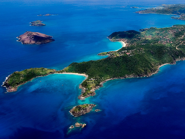
| Description | St-Barth vue de Haut |
| Date | 15 May 2012 (original upload date) |
| Source | https://web.archive.org/web/20161026172655/http://www.panoramio.com/photo/72089257 |
| Author | Remy Gumbs (shady P) |
| Permission (Reusing this file) |
This file is licensed under the Creative Commons Attribution-Share Alike 3.0 Unported license. Attribution: Remy Gumbs (shady P)
|
| Other versions | |
| Tags (from Panoramio photo page) | Saint-Barthélemy, best, Saint-Barthélemy |

.jpg&action=edit§ion=1)
| Camera location | | View this and other nearby images on: OpenStreetMap |
|---|
.jpg¶ms=017.921740_N_-062.889708_E_globe:Earth_type:camera_source:Panoramio_&language=en)
File history
Click on a date/time to view the file as it appeared at that time.
| Date/Time | Thumbnail | Dimensions | User | Comment | |
|---|---|---|---|---|---|
| current | 12:38, 14 December 2022 | | 600 × 450 (116 KB) | Argo Navis (talk | contribs) | File:St-Barth vue de Haut - panoramio.jpg cropped 48 % horizontally, 42 % vertically using CropTool with precise mode. |
You cannot overwrite this file.
File usage on Commons
The following page uses this file:
File usage on other wikis
The following other wikis use this file:
- Usage on hr.wikipedia.org
.jpg&oldid=715421479)