File:St. Kitts Scenic Railway (8745687175).jpg
Size of this preview: 800 × 413 pixels. Other resolutions: 320 × 165 pixels | 640 × 330 pixels | 1,024 × 529 pixels | 1,280 × 661 pixels | 2,560 × 1,322 pixels | 5,013 × 2,588 pixels.
Original file (5,013 × 2,588 pixels, file size: 2.65 MB, MIME type: image/jpeg)
Captions
Captions
Add a one-line explanation of what this file represents
Summary edit
.jpg&action=edit§ion=1)
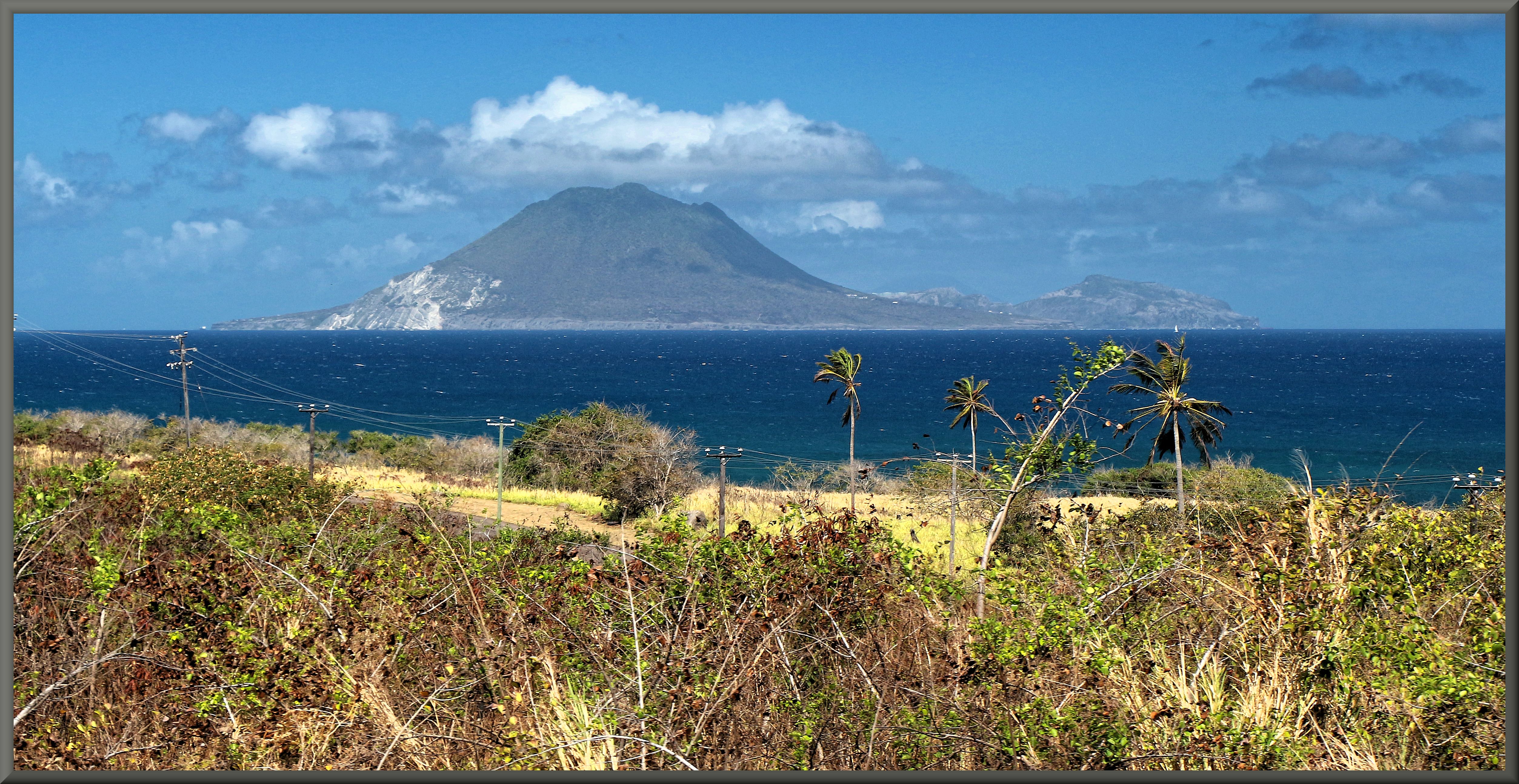
| Description | The first real view we get of Mt. Mazinga and the island of Sint Eustatius. On the left White wall, on the right Boven. In the middle is Saba visible |
| Date | |
| Source | St. Kitts Scenic Railway |
| Author | Dale Morton from Brantford, Canada |
| Camera location | | View this and other nearby images on: OpenStreetMap |
|---|
.jpg¶ms=017.404701_N_-062.796992_E_globe:Earth_type:camera_source:Flickr_&language=en)
Licensing edit
.jpg&action=edit§ion=2)
This file is licensed under the Creative Commons Attribution 2.0 Generic license.
- You are free:
- to share – to copy, distribute and transmit the work
- to remix – to adapt the work
- Under the following conditions:
- attribution – You must give appropriate credit, provide a link to the license, and indicate if changes were made. You may do so in any reasonable manner, but not in any way that suggests the licensor endorses you or your use.
| This image was originally posted to Flickr by 2.3 Million + views!!! Thank you!!! at https://flickr.com/photos/12068333@N03/8745687175. It was reviewed on 16 August 2017 by FlickreviewR and was confirmed to be licensed under the terms of the cc-by-2.0. |
File history
Click on a date/time to view the file as it appeared at that time.
| Date/Time | Thumbnail | Dimensions | User | Comment | |
|---|---|---|---|---|---|
| current | 12:25, 16 August 2017 | | 5,013 × 2,588 (2.65 MB) | Ymnes (talk | contribs) | Transferred from Flickr via Flickr2Commons |
You cannot overwrite this file.
File usage on Commons
There are no pages that use this file.
File usage on other wikis
The following other wikis use this file:
- Usage on nl.wikipedia.org
.jpg&oldid=875494586)