File:StMichael'sAnglicanChurchSurryHills.jpg

Size of this preview: 800 × 600 pixels. Other resolutions: 320 × 240 pixels | 640 × 480 pixels | 1,024 × 768 pixels | 1,280 × 960 pixels.
Original file (1,280 × 960 pixels, file size: 562 KB, MIME type: image/jpeg)
Captions
Captions
Add a one-line explanation of what this file represents
Summary edit
| Description |
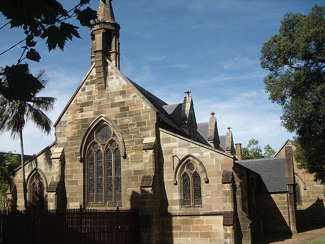
English: St Michael's Anglican Church, corner of Flinders and Albion St, Surry Hills, NSW, Australia. http://www.surryhills.anglican.asn.au |
| Date | |
| Source | Own work |
| Author | Timboooo |
| Camera location | | View this and other nearby images on: OpenStreetMap |
|---|
Licensing edit
| I, the copyright holder of this work, release this work into the public domain. This applies worldwide. In some countries this may not be legally possible; if so: I grant anyone the right to use this work for any purpose, without any conditions, unless such conditions are required by law. |
File history
Click on a date/time to view the file as it appeared at that time.
| Date/Time | Thumbnail | Dimensions | User | Comment | |
|---|---|---|---|---|---|
| current | 11:52, 1 May 2009 | | 1,280 × 960 (562 KB) | Timboooo (talk | contribs) | {{Information |Description={{en|1=St Michael's Anglican Church, Surry Hills http://www.surryhills.anglican.asn.au corner of Flinders and Albion St, Surry Hills, NSW, Australia}} |Source=Own work by uploader |Author=Timboooo |Date=2005-11 |
You cannot overwrite this file.
File usage on Commons
The following page uses this file:
File usage on other wikis
The following other wikis use this file:
- Usage on en.wikipedia.org
- Usage on es.wikipedia.org
- Usage on ms.wikipedia.org
- Usage on www.wikidata.org
- Usage on zh.wikipedia.org